Digital twin for urban development
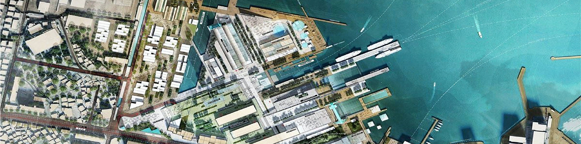
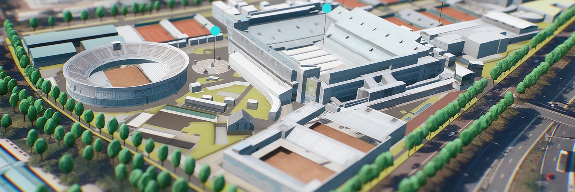
How can you convince investors, elected officials and local residents of the value of an urban development project before it even breaks ground? The digital twin for urban development turns your site plans and BIM models into an interactive 3D experience, from an aerial view of the neighborhood down to the details of a building’s facade. Measure environmental impacts, engage stakeholders through immersive tours and build a reusable digital asset.
stakeholders
One digital twin for local authorities, developers and design teams
Property developers, design teams, building operators, residents: each plays a role at a different stage of the project, with their own expectations and timelines. The digital twin gives each of them a view tailored to their role, from a single shared source of truth.

Public agencies, urban planning departments and surveyors
You already work with GIS and 3D models. With the City Information Model (CIM), you get an up-to-date base map of your area that breaks down silos between disciplines: data from the developer’s surveyors, the city and the engineering teams finally comes together in a single shared framework.

Architects, engineering firms, and construction companies
A BIM model describes the building, but rarely its surroundings. The digital twin places your project in its real-world context, so you can check how it fits in, what views it offers and its sunlight and shadow impact. It gives designers and builders a single shared representation.

Building owners and operators
The project owner’s role ends at handover, and the operator is rarely involved during construction. Once handed over, the digital twin bridges that gap: the 3D model of the site and the studies carried out during the project remain available. Operators keep an overview of their assets in context and can assess how neighboring projects affect sunlight, views or comfort.

Residents, community groups, neighborhood councils
Through virtual tours, before-and-after comparisons and shared indicators, the digital twin makes the project accessible to everyone, opening consultation beyond professionals and bringing the open data approach down to neighborhood level.
context
Three challenges in every urban development project

Sales and strategy
Demonstrating the value of a real estate project before it is built usually relies on figures, sketches and renderings. Convincing investors, buyers or partners means showing the project’s benefits in its local context, something traditional tools struggle to do.

Regulations and environment
Development projects face increasingly strict environmental requirements on urban heat islands, soil permeability and carbon emissions. You need reliable before-and-after indicators to assess a proposal and demonstrate its environmental impact and climate resilience.
Consultation and engagement
Winning the support of residents, elected officials and future occupants is a complex task: these audiences have different expectations and often little technical expertise. To get them on board, the project must be clear, tangible and interactive, well before ground is broken.
OUR PROMISE
Showcase your project before it even exists.
The digital twin for urban development turns your project into a 3D experience.
Features
What the digital twin for urban development lets you do
Show your project in context, at every scale
Explore your project in its real surroundings and move seamlessly between scales.
 3D visualization of the project and its surroundings (levels of detail, LoD 1 to 3)
- BIM data, site plans and renderings in one place
- Interactive multi-scale navigation (region, neighborhood, parcel, building)
- Sightline analysis

Demonstrate the project's environmental impacts
Calculate and display the impact on key indicators: sunlight, temperature, vegetation, soil permeability, biodiversity and quality of life.
- Before-and-after simulation with side-by-side comparison
- Climate and environmental indicators
- Accessibility analysis for local services
Foster engagement through interactive and immersive experiences
Offer a customized engagement experience: virtual tours, themed storytelling, and dashboards.
- Interactive thematic presentation (climate resilience, quality of life, mobility, energy, etc.)
- Interactive multi-scale navigation
Build a reusable digital asset
An application that grows with your future projects.
- Real estate project presentation
- Impact dashboards
- Interactive application for Windows, macOS, tablets and VR headsets (VR available as an option)
Indicators
Key Data from the Digital Twin
Architectural and Urban Indicators
Solar exposure and orientation
Cast shadows
Intervisibility
Proximity to local services
Environmental indicators
Rooftop solar exposure and photovoltaic potential
Building energy performance
Thermal comfort and urban heat island exposure
Vegetation cover, land use and water management
In short
A digital twin to support decision-making
Every indicator is calculated and georeferenced in the project’s 3D model, so you can show stakeholders exactly what changes and where.

They trust us