Softwares
Siradel develops software designed for your field to help you plan, deploy and manage your networks and areas. Our solutions cover radio planning, 3D mapping, regulatory urban planning and industrial risk management.
Built around your business needs, our products (InoWave, Planner, Web Services, Urbain, Asphales and SWA) are trusted by telecom operators, local governments and industrial companies in more than 50 countries.
Available as SaaS or on-premises, they integrate easily with your existing tools through APIs and standard formats, and draw on 30 years of research in simulation and modeling.

How we work
Field-proven accuracy
Our models are validated against real-world measurements and backed by decades of use by telecom operators, local governments and industrial companies.

Purpose-built business tools
Radio planning, 3D mapping, urban planning, risk management or land-use strategy: each solution meets a specific need and incorporates the metrics and regulations of your industry, without unnecessary complexity.

Cloud or on-premises
Turnkey SaaS or deployment on your own infrastructure: our solutions adapt to your security, data sovereignty and hosting requirements, and integrate seamlessly with your existing tools.

Support and guidance
From installation to team training, our experts guide you every step of the way until you’re fully self-sufficient. We provide dedicated technical support, skills development and direct access to our engineers for your most complex needs.
Our Software
Discover our software solutions

Web Services
Softwares
A cloud-native API to automate your radio propagation calculations and coverage maps.
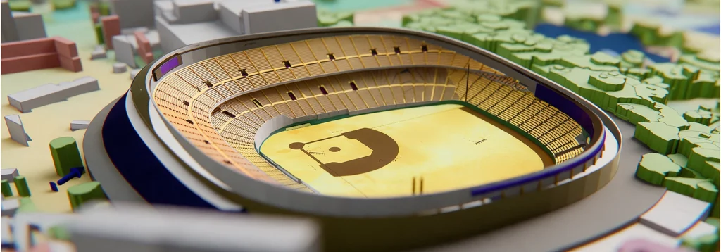
Planner
Softwares
Deploy reliable private networks to connect your industrial sites.
InoWave
Logiciels
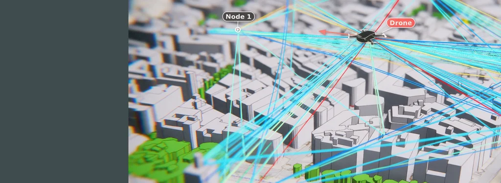
InoWave simulates the dynamic radio channel on 3D digital twins to virtually test 5G-Advanced and 6G systems.
Urbain
Softwares
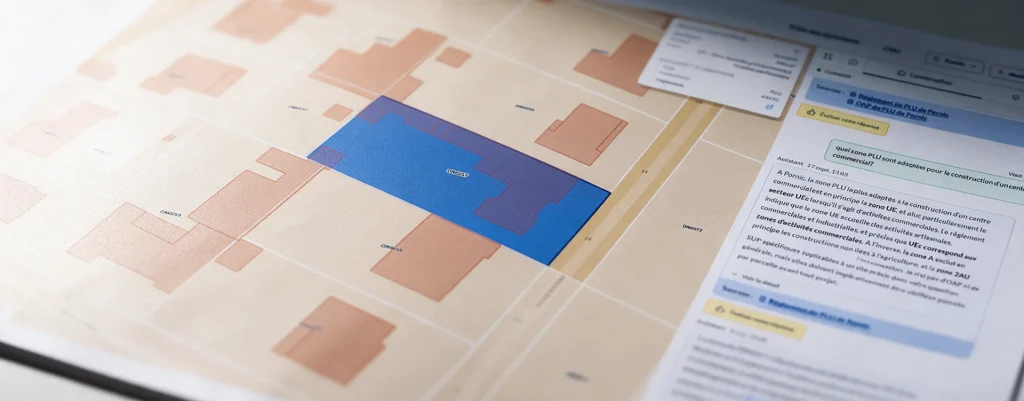
Search your PLU and PLUi records using natural language, with a response that includes sources at the parcel level.
Asphales
Softwares
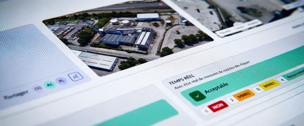
Asphales is an industrial risk management software solution that enables you to analyze, manage, and monitor your industrial sites’ risk vulnerabilities in real time.
SWA
Softwares
SWA (Siradel Workspace & Atlas) is a 2D/3D web-based tool that makes map creation accessible to your business teams.
In summary
Proven software expertise, six business applications.
Physical modeling, simulation, and geospatial data generation:
Our software is based on the same scientific core, which has been proven over the past thirty years.
Let's talk about your project
Tell us about your situation and your goals: our experts will work with you to identify the best solution and show you how it makes a difference, using a case study similar to yours.