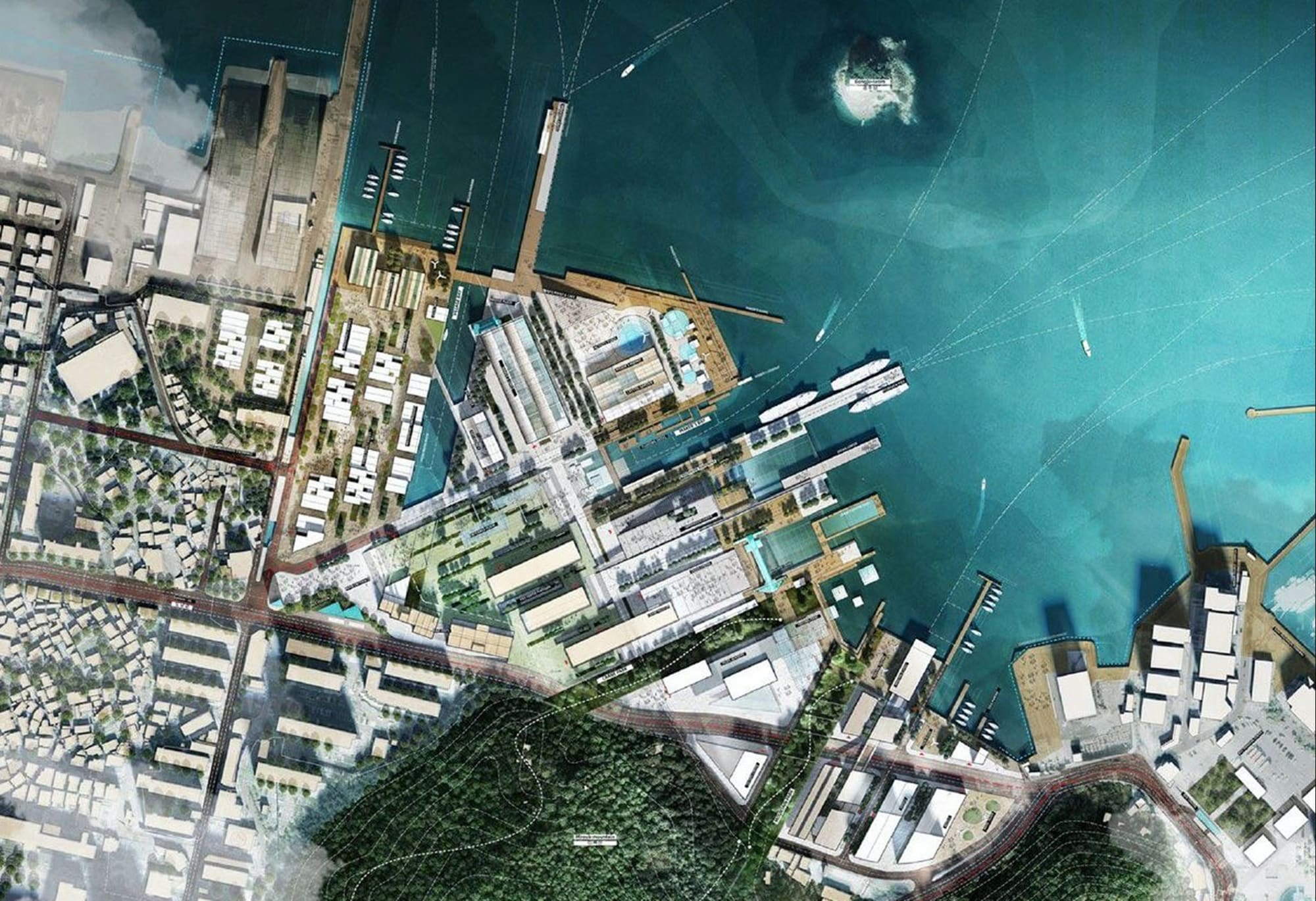
IT Services Company
Consulting, integration, and engineering are entering a new cycle, where the key differentiators are delivery speed and the complexity of projects. However, this requires having the right data and expertise at the right time.
Siradel provides you with its 3D and geospatial data, software components (APIs, digital twins), and expertise in co-development to enhance your solutions and accelerate your design work without requiring additional resources.
Digital service providers, system integrators, design firms, and engineering companies: our data and expertise provide your projects with the territorial context (2D/3D) that your clients expect.

Industry Challenges
A dynamic market that opens up new opportunities
IT services firms, system integrators, design firms, and engineering companies operate in different markets but face the same trends: more selective clients, highly sought-after skills, AI in production, and a growing demand for geographic data. All of these are opportunities to set oneself apart.

A more selective market that rewards targeted investments
After fifteen years of continuous growth, the consulting and integration sectors contracted in 2025, and the recovery remains uneven. Client budgets are shifting toward maintenance and operational efficiency, and value is concentrated in the cloud, data, and cybersecurity. For both digital services firms and engineering firms, the challenge is to invest where every euro spent on development creates a lasting benefit.

Rare skills that must be deployed at the right time
It remains difficult to recruit professionals in data, AI, cybersecurity, and geomatics, and technical skills are evolving rapidly. Building a complete in-house geospatial team (3D modeling, image processing, geographic databases) is difficult to justify for a single project: the challenge is being able to draw on this expertise when a project requires it.

A Value Chain to Expand as AI Enters Production
AI has become part of the production process: code generation and review, document processing, and accelerated design studies. All stakeholders now have access to the same tools, and technical production alone is no longer enough to set a firm apart. Value is shifting upstream and toward a diversity of expertise: getting involved as soon as the client makes a decision, offering decision-support services, expanding one’s offerings to new fields, and coordinating specialized experts within a single project.

Your Local Presence: An Asset for Winning Bids
Infrastructure, industry and energy, environment, urban planning: in the key sectors driving business, clients expect 3D visuals, simulations, and geographic data to be included in project presentations. A project is now also judged by how well it fits into the surrounding area. The ability to provide this geospatial context makes all the difference in competitive bids, alongside price and project references.
Recommended Solutions
Technology building blocks and support to accelerate your projects
Solutions divided into two categories: 3D data, APIs, and ready-to-integrate interfaces on one hand, and custom development, technical support, and skills transfer on the other.
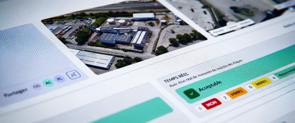
Asphales
Softwares
Asphales is an industrial risk management software solution that enables you to analyze, manage, and monitor your industrial sites’ risk vulnerabilities in real time.
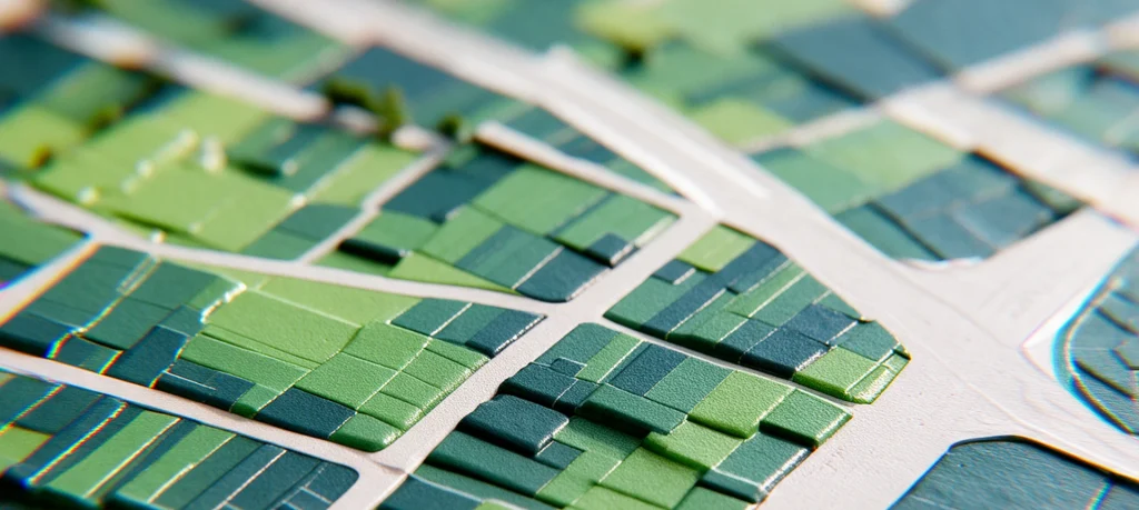
SWA
Softwares
SWA (Siradel Workspace & Atlas) is a 2D/3D web-based tool that makes map creation accessible to your business teams.

Geospatial Data Services
Services
Combine your geographic data with our geospatial intelligence models to anticipate risks and prioritize your investments.
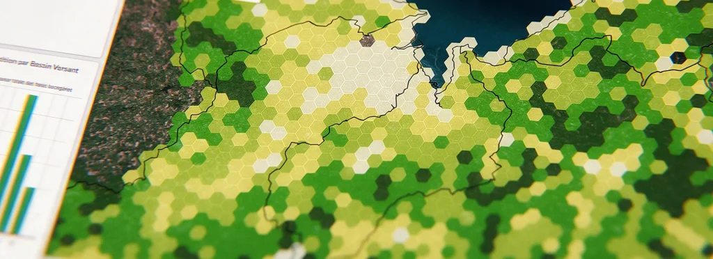
Geospatial intelligence
Geodata
Get land-use and building layers extracted from imagery using AI.
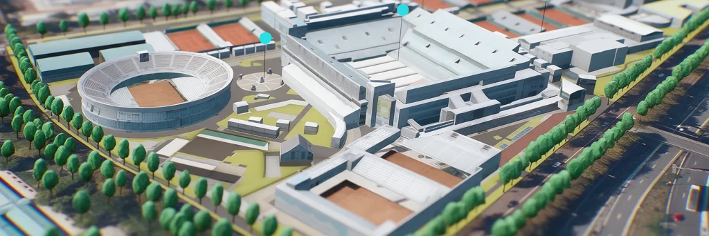
Urban Development
Digital Twins
Showcase your urban projects with 3D experiences based on your plans.
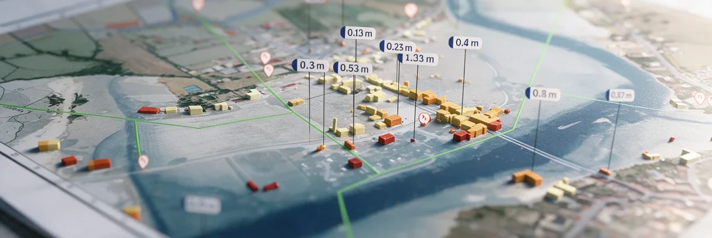
Flood
Digital Twins
Model flood spread, identify the areas at risk…

Urban Heat
Digital Twins
A digital twin to map urban heat islands, cross-reference heat stress with local vulnerabilities, and simulate the impact of your urban planning projects.

Land Use Strategy
Digital Twins
Take an objective approach to your land-use strategy decisions at the regional level.
They trust us


Our Contribution
Siradel, a geospatial technology partner for digital services companies and engineering firms
Regardless of the solution you choose, there are two ways to work with us: integrate our data and building blocks into your own deliverables, or entrust us with part of the project. Most of our partners combine the two, depending on the workload and the level of expertise required.

Equip Yourself: Data, Metrics, and Platforms with Direct Access
Your teams can integrate our geospatial datasets, 3D data, and digital twins into your platforms and deliverables themselves, via SaaS or API. You retain control over your roadmap and customer relationships without having to build an in-house geomatics team.

Supporting You: Customized Studies, Expert Assessments, and Analyses
Our engineers and geographers work alongside your project teams to provide support in areas such as modeling, data generation, specialized analyses, and skills transfer. You can handle a surge in workload or access specialized expertise without having to hire additional staff, and you’ll meet your bid deadlines.