Sectors
Telecommunications, public sector, energy, industry, urban planning and real estate, engineering, finance: the challenges vary from one sector to the next. But one requirement applies across the board: making decisions based on a precise understanding of what is happening on the ground.
Integrate your geospatial data into our tools to model, simulate, anticipate and manage your networks, industrial sites and areas.

Find Your Sector
Select your sector
- Telecom
- Public Sector
- Energy & Utilities
- Industry
- Urban Planning & Real Estate
- IT Services Company
- Finance & Insurance
Telecom
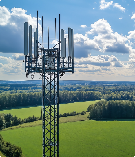
For over 30 years, Siradel has been modeling radio wave propagation, producing its own 3D geodata, and delivering state-of-the-art RF planning capabilities. Whether you need software, APIs, data, or customized studies, we help you verify the coverage and performance of your networks before you invest.
Public Sector
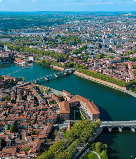
Local governments manage their areas under two pressing constraints: shrinking budget margins and looming regulatory deadlines.Siradel turns your geospatial data into geospatial intelligence, giving you a detailed, up-to-date understanding of your area so you can anticipate change, deliver your development projects and lead your climate and energy transition.Our data and platforms support your decisions and make it easier to work with elected officials, residents and partners, and our teams support you every step of the way.
Energy & Utilities
Heating and cooling networks, electricity, gas, renewable energy, and water: network operators and energy suppliers are managing increasingly complex infrastructure at all levels, while accelerating their transition to a low-carbon economy. This requires connecting all your technical data, fostering a shared vision between field and management teams, and having access to reliable real-time metrics to meet regulatory requirements (PCAET, Tertiary Sector Decree, APER Act). 3D building models, building attributes (roofs, energy performance ratings, floor areas), solar resources: Siradel produces the geospatial data you need and transforms it into decision-making and management tools.

Industry
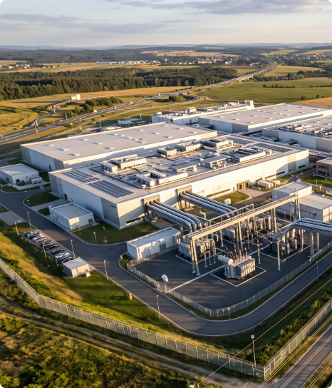
Regulated sites, industrial platforms, production facilities: as facilities age, change and see their surroundings become more densely populated, demonstrating that risks are under control has become an ongoing process.Siradel turns your geospatial data into operational intelligence to map your facilities, anticipate risks and ensure safety at every stage of your sites’ lifecycle.Whether you operate permitted industrial facilities, industrial platforms, energy assets or infrastructure, our 3D models, simulations and experts support your safety reports, prevention plans and the day-to-day management of your facilities.
Urban Planning & Real Estate
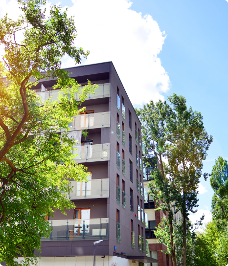
Land has become the key factor in urban planning and real estate projects. With the no net land take target, harder-to-find sites and stricter environmental requirements, decisions about an increasingly scarce resource must be made earlier and with greater care.Siradel turns your geospatial data into land intelligence: identifying potential sites, checking zoning rules, simulating impacts and visualizing results in their real-world setting.Property developers, urban planners, social housing providers, local governments and inter-municipal authorities: our digital twins, 3D models and experts support your feasibility studies, permit applications and public consultations.
IT Services Company
Consulting, integration and engineering are entering a new cycle, where delivery speed and the value of each project make the difference. That means having the right data and expertise at the right time.Siradel provides 3D geospatial data, software components (APIs, digital twins) and co-development expertise to enhance your solutions and speed up your design work, without adding headcount.Digital service providers, system integrators, design offices and engineering firms: our data and expertise give your projects the 2D/3D geographic context your clients expect.

Finance & Insurance
Allocating capital, insuring an asset, preventing a loss: these decisions all hinge on the same question, an asset’s real exposure to physical risk.Siradel combines geospatial intelligence, artificial intelligence and local knowledge to answer it with quantified, asset-level physical risk metrics, so your decisions rest on objective data.Banks, asset managers, insurers and reinsurers share a common foundation for underwriting, lending, due diligence, risk prevention and sustainability reporting.

5 results matching your filters
Planner
Software
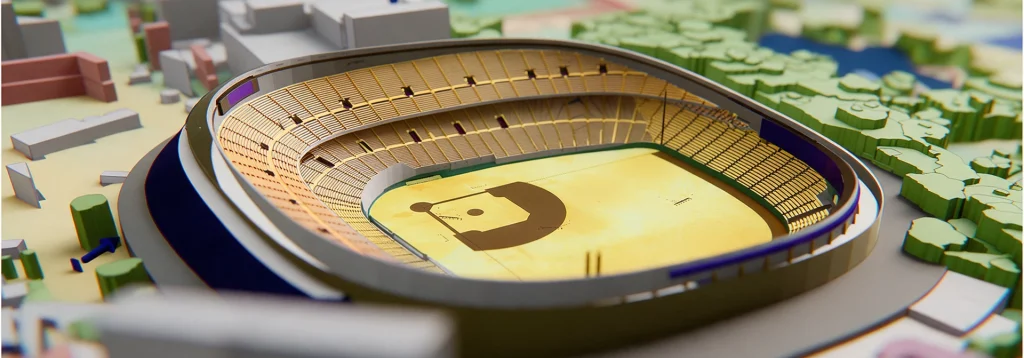
Deploy reliable private networks to connect your industrial sites.

Web Services
Software
A cloud-native API to automate your radio propagation calculations and coverage maps.

Telecom Consulting
Services
Our RF engineers plan, simulate and optimise your telecom networks, from design to deployment.
Telecom Geodata
Geodata
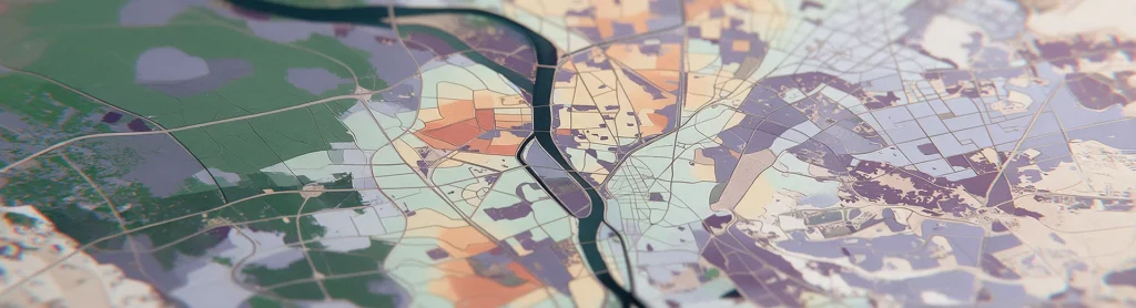
Radio-first geodata to simulate 4G/5G coverage in every frequency band, anywhere in the world.
InoWave
Software
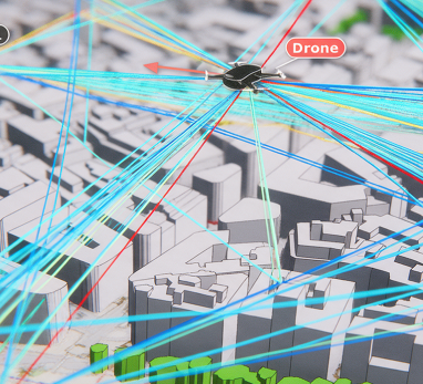
InoWave simulates the dynamic radio channel on 3D digital twins to virtually test 5G-Advanced and 6G systems.
9 results matching your filters
Flood
Digital Twins
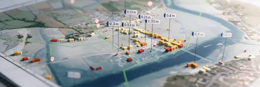
Model flood spread, identify the areas at risk…

Urban Heat
Digital Twins
A digital twin to map urban heat islands, cross-reference heat stress with local vulnerabilities, and simulate the impact of your urban planning projects.

Land Use Strategy
Digital Twins
Take an objective approach to your land-use strategy decisions at the regional level.
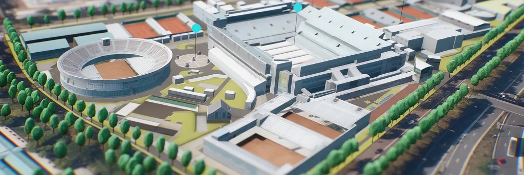
Urban Development
Digital Twins
Showcase your urban projects with 3D experiences based on your plans.

Geospatial Data Services
Services
Combine your geographic data with our geospatial intelligence models to anticipate risks and prioritize your investments.
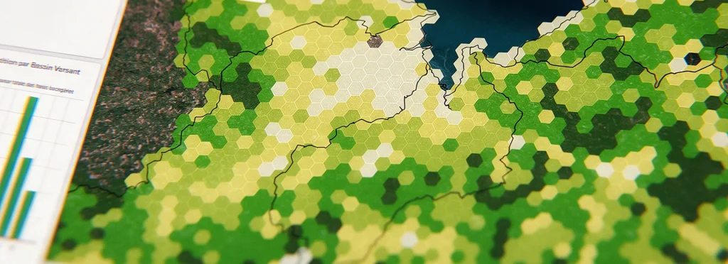
Geospatial intelligence
Geodata
Get land-use and building layers extracted from imagery using AI.
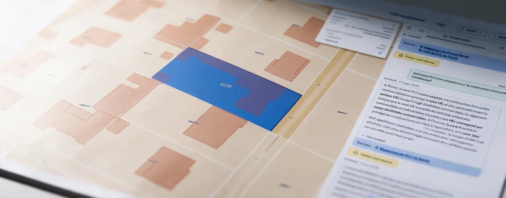
Urbain
Software
Search your PLU and PLUi records using natural language, with a response that includes sources at the parcel level.
Planner
Software
Deploy reliable private networks to connect your industrial sites.
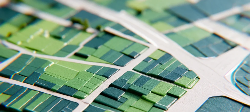
SWA
Software
SWA (Siradel Workspace & Atlas) is a 2D/3D web-based tool that makes map creation accessible to your business teams.
11 results matching your filters
Flood
Digital Twins
Model flood spread, identify the areas at risk…
Urban Heat
Digital Twins
A digital twin to map urban heat islands, cross-reference heat stress with local vulnerabilities, and simulate the impact of your urban planning projects.
Land Use Strategy
Digital Twins
Take an objective approach to your land-use strategy decisions at the regional level.
Geospatial Data Services
Services
Combine your geographic data with our geospatial intelligence models to anticipate risks and prioritize your investments.
Geospatial intelligence
Geodata
Get land-use and building layers extracted from imagery using AI.
Urbain
Software
Search your PLU and PLUi records using natural language, with a response that includes sources at the parcel level.
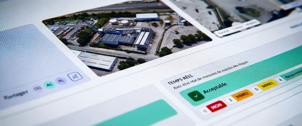
Asphales
Software
Asphales is an industrial risk management software solution that enables you to analyze, manage, and monitor your industrial sites’ risk vulnerabilities in real time.
Planner
Software
Deploy reliable private networks to connect your industrial sites.
SWA
Software
SWA (Siradel Workspace & Atlas) is a 2D/3D web-based tool that makes map creation accessible to your business teams.
Telecom Consulting
Services
Our RF engineers plan, simulate and optimise your telecom networks, from design to deployment.
Telecom Geodata
Geodata
Radio-first geodata to simulate 4G/5G coverage in every frequency band, anywhere in the world.
7 results matching your filters
Geospatial Data Services
Services
Combine your geographic data with our geospatial intelligence models to anticipate risks and prioritize your investments.
Geospatial intelligence
Geodata
Get land-use and building layers extracted from imagery using AI.
Asphales
Software
Asphales is an industrial risk management software solution that enables you to analyze, manage, and monitor your industrial sites’ risk vulnerabilities in real time.
Planner
Software
Deploy reliable private networks to connect your industrial sites.
SWA
Software
SWA (Siradel Workspace & Atlas) is a 2D/3D web-based tool that makes map creation accessible to your business teams.
Telecom Consulting
Services
Our RF engineers plan, simulate and optimise your telecom networks, from design to deployment.
Telecom Geodata
Geodata
Radio-first geodata to simulate 4G/5G coverage in every frequency band, anywhere in the world.
8 results matching your filters
Flood
Digital Twins
Model flood spread, identify the areas at risk…
Urban Heat
Digital Twins
A digital twin to map urban heat islands, cross-reference heat stress with local vulnerabilities, and simulate the impact of your urban planning projects.
Land Use Strategy
Digital Twins
Take an objective approach to your land-use strategy decisions at the regional level.
Urban Development
Digital Twins
Showcase your urban projects with 3D experiences based on your plans.
Geospatial Data Services
Services
Combine your geographic data with our geospatial intelligence models to anticipate risks and prioritize your investments.
Geospatial intelligence
Geodata
Get land-use and building layers extracted from imagery using AI.
Urbain
Software
Search your PLU and PLUi records using natural language, with a response that includes sources at the parcel level.
SWA
Software
SWA (Siradel Workspace & Atlas) is a 2D/3D web-based tool that makes map creation accessible to your business teams.
8 results matching your filters
Flood
Digital Twins
Model flood spread, identify the areas at risk…
Urban Heat
Digital Twins
A digital twin to map urban heat islands, cross-reference heat stress with local vulnerabilities, and simulate the impact of your urban planning projects.
Land Use Strategy
Digital Twins
Take an objective approach to your land-use strategy decisions at the regional level.
Urban Development
Digital Twins
Showcase your urban projects with 3D experiences based on your plans.
Geospatial Data Services
Services
Combine your geographic data with our geospatial intelligence models to anticipate risks and prioritize your investments.
Geospatial intelligence
Geodata
Get land-use and building layers extracted from imagery using AI.
Asphales
Software
Asphales is an industrial risk management software solution that enables you to analyze, manage, and monitor your industrial sites’ risk vulnerabilities in real time.
SWA
Software
SWA (Siradel Workspace & Atlas) is a 2D/3D web-based tool that makes map creation accessible to your business teams.
8 results matching your filters
Flood
Digital Twins
Model flood spread, identify the areas at risk…
Urban Heat
Digital Twins
A digital twin to map urban heat islands, cross-reference heat stress with local vulnerabilities, and simulate the impact of your urban planning projects.
Land Use Strategy
Digital Twins
Take an objective approach to your land-use strategy decisions at the regional level.
Urban Development
Digital Twins
Showcase your urban projects with 3D experiences based on your plans.
Geospatial Data Services
Services
Combine your geographic data with our geospatial intelligence models to anticipate risks and prioritize your investments.
Geospatial intelligence
Geodata
Get land-use and building layers extracted from imagery using AI.
Asphales
Software
Asphales is an industrial risk management software solution that enables you to analyze, manage, and monitor your industrial sites’ risk vulnerabilities in real time.
SWA
Software
SWA (Siradel Workspace & Atlas) is a 2D/3D web-based tool that makes map creation accessible to your business teams.