Digital Twins
Siradel’s digital twins faithfully reproduce your area and assets, helping you anticipate change, simulate scenarios and make informed decisions.
Enriched with our geospatial expertise, these digital replicas are designed to address your climate adaptation, resilience and decarbonization challenges.
Whether you’re working on local land-use plans, land strategies or climate risks, from initial assessment to public consultation, you get a tangible view of your challenges, backed by indicators, models and scenario analysis.
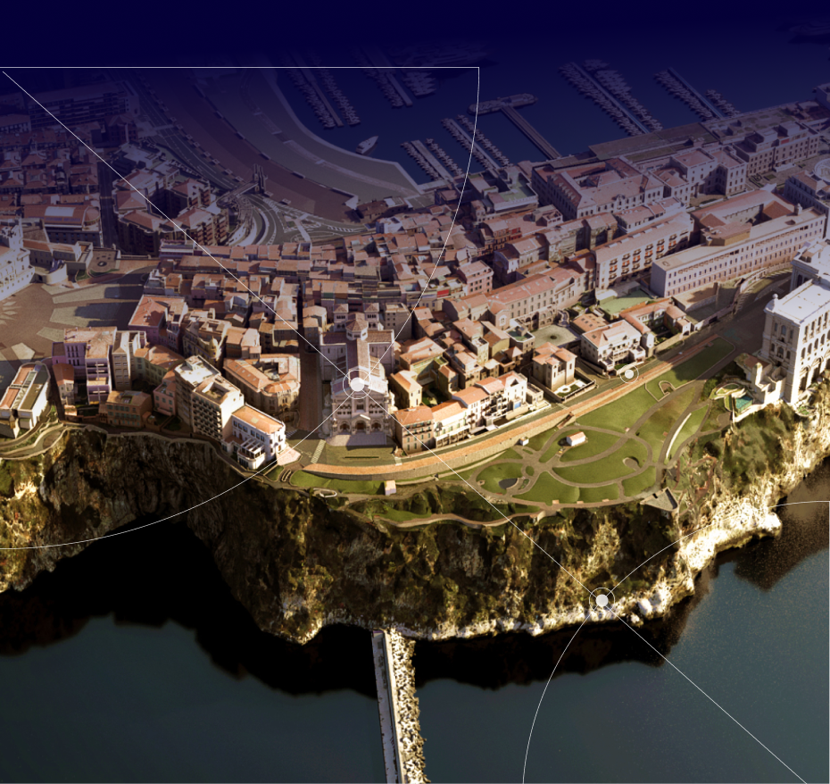
definition
The Digital Twin
A digital twin is a dynamic virtual replica of an area, a network or a set of assets. By modeling the physical phenomena at play, it helps assess the impact of past choices and inform future decisions.

For strategic planning
Compare scenarios using the same assumptions and calculation methods: identifying plots suitable for densification, assessing the impacts of a development project, mapping flood-prone areas.

For operational management
Track your indicators over time, anticipate critical situations and adjust your actions: ensuring radio coverage along a rail corridor, managing a flood event, monitoring network performance.

A shared tool
Every result is precisely mapped, in 2D or 3D. Accessible without technical expertise, the digital twin becomes a platform for dialogue between departments, elected officials, partners and residents.

A long-term asset
Your digital twin evolves with your area and grows richer with each use, becoming a go-to reference for your teams.
Case Study
Angers Loire Métropole: a climate-ready region
As part of its “Smart Territory” project, Angers Loire Métropole uses a digital twin of its entire metropolitan area to inform its land-use planning decisions. The twin was designed by Siradel within a consortium led by Ineo.
For urban heat islands, displaying climate projections based on IPCC scenarios in the digital twin enables the metropolitan authority to identify the areas most vulnerable to rising temperatures. For flooding, historical flood data helps assess the consequences of a significant rise in water levels and adapt urban development projects accordingly.

Our Commitment
Member of the JUNN Consortium
Siradel takes part in the Digital Twin of France and Its Regions initiative, which brings together public and private stakeholders around shared interoperability standards. This commitment ensures that the digital twin we build with you remains open and compatible with other systems.
How we work
One method, four steps
We start with your existing data, enrich it, and then bring it to life; the digital twin isn’t a static deliverable but an asset that your teams can useover the long term.
Land Use Modeling
We integrate your existing data (topographic database, LiDAR, cadastral data, utility networks) and enrich it to create an accurate, up-to-date replica of your area.
Scientific Simulation
Our field-validated physical models and algorithms simulate natural hazards, radio wave propagation and water flows, at every scale from a single plot to an entire region.
Analysis & Decision Support
Results are delivered as an interactive 3D map, indicators and side-by-side scenarios to inform your planning and investment decisions.
Monitoring & Continuous Updates
The digital twin evolves with your area through regular updates, indicator monitoring and alerts that support long-term management.
Our Digital Twins
Explore our specialized digital twins
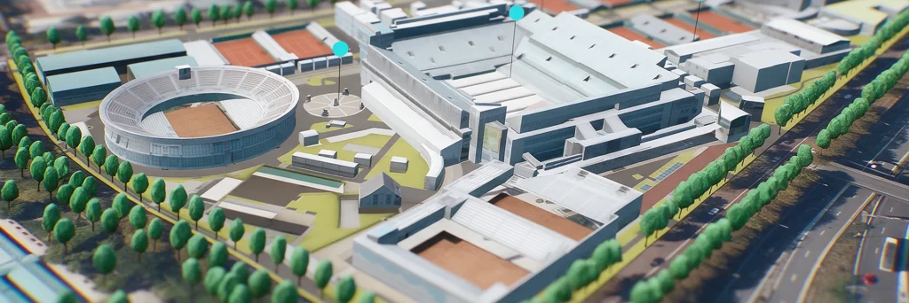
Urban Development
Digital Twins
Showcase your urban projects with 3D experiences based on your plans.
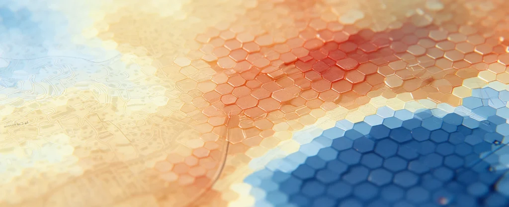
Urban Heat
Digital Twins
A digital twin to map urban heat islands, cross-reference heat stress with local vulnerabilities, and simulate the impact of your urban planning projects.

Land Use Strategy
Digital Twins
Take an objective approach to your land-use strategy decisions at the regional level.
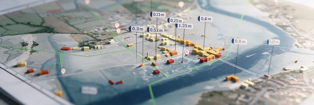
Flood
Digital Twins
Model flood spread, identify the areas at risk…
In short
One foundation, many use cases
Local land-use plans, urban heat islands, land strategy, flooding: our four digital twins all share the same 3D model of your area
Let's Talk About Your Project
Tell us about your area and your challenges: our experts will help you identify the right digital twin and show you how it’s used by a local government like yours.