Geodata
Siradel produces and validates the geospatial data your projects need, from satellite and aerial imagery, LiDAR, open data and IoT sensors, within a structured 2D/3D repository that complies with international and European standards.
Geodata Telecom for radio planning, Geospatial intelligence for spatial analysis: two data offerings, with scales and resolutions tailored to your needs.
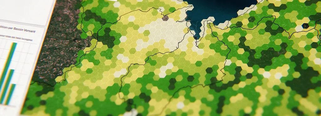
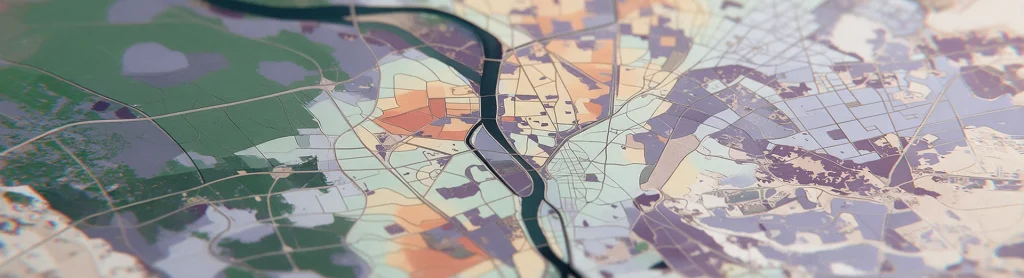
Digital terrain models, 3D building models, ready-to-use indicators and AI-powered detection: reliable, specialized data designed to integrate into your business tools.

our approach
What we guarantee for every dataset
You know where your data comes from, when it was produced and how, and your teams can use it right away, with no further processing.

Consolidated, verified sources
Satellite and aerial imagery, LiDAR, open data, IoT sensors: we integrate diverse data sources and verify each layer before delivery to ensure a consistent dataset.

The right resolution for your needs
From centimeter-level detail for an industrial site to a 100-meter grid for nationwide coverage: we match the resolution to your actual needs.

Standard formats, no vendor lock-in
OGC and INSPIRE compliant, delivered in Shapefile, GeoTIFF, GeoPackage or CityGML: your data works with your current tools and any you may choose in the future.

AI-powered production
Our deep learning pipelines produce at scale what used to take months of manual photo-interpretation, with consistent, verifiable quality.
In short
One pipeline, consistent quality
Geodata Telecom and Geospatial intelligence share the same production process, with the same sources, quality controls and delivery standards. The level of accuracy is tailored to your needs, but our standards never change.
Let's talk about your data needs
Tell us about your project and use cases: our experts will help you identify the right data and share a sample with you.