Powering
Geospatial Intelligence
Reference data, consulting and industry-specific software: an integrated offering that covers every link in the chain, from data production to decision-making.One purpose drives us: turning the complexity of the real world into clarity for action.
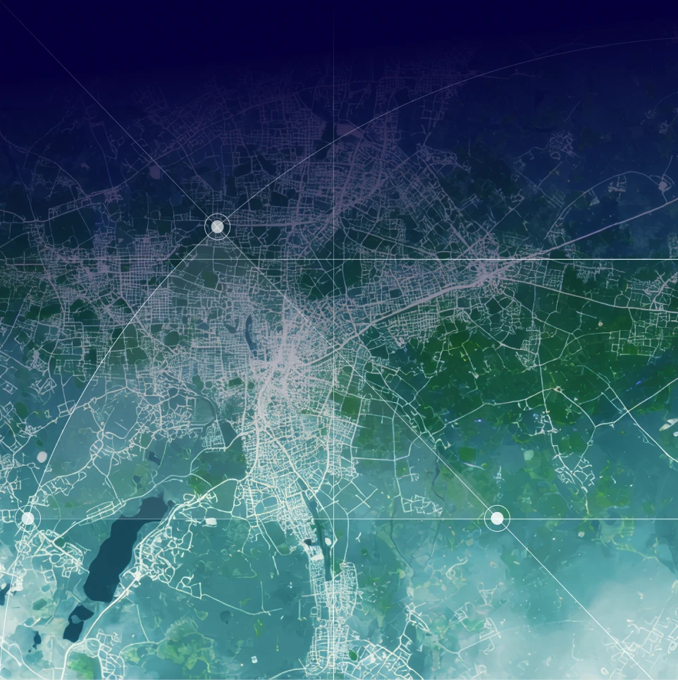
From data to decision: an end-to-end value chain
Acquire
Satellite and aerial imagery, LiDAR, open data, regulatory data: we bring together a wide range of sources.
Produce
Using 3D modeling and our proprietary AI algorithms, we create accurate reference data and digital twins.
Analyze
Simulations and metrics: we identify meaningful signals and test scenarios at scale.
Deliver
Interactive maps, 3D views and dashboards, available as SaaS, in a sovereign cloud or on-premises.
Decide
Reliable, actionable information to help you plan, make decisions and track their long-term impact.
Explore our full range of solutions


Find Your Sector
Select your sector
- Telecom
- Public Sector
- Energy & Utilities
- Industry
- Urban Planning & Real Estate
- IT Services Company
- Finance & Insurance
Telecom
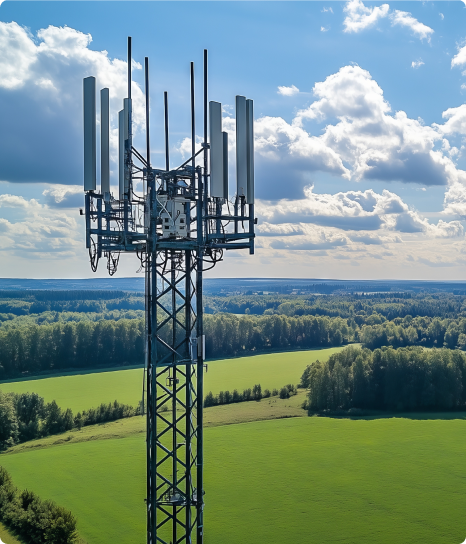
For over 30 years, Siradel has been modeling radio wave propagation, producing its own 3D geodata, and delivering state-of-the-art RF planning capabilities. Whether you need software, APIs, data, or customized studies, we help you verify the coverage and performance of your networks before you invest.
Public Sector
Local governments manage their territories under two pressing constraints: shrinking budget margins and looming regulatory deadlines.Siradel transforms your geospatial data into territorial intelligence and provides you with a detailed, up-to-date understanding of your territory, enabling you to anticipate changes, ensure the success of your development projects, and lead your climate and energy transition.Our data and platforms support your decision-making and facilitate collaboration with elected officials, residents, and your partners. Our teams assist you in implementing these solutions.
Energy & Utilities
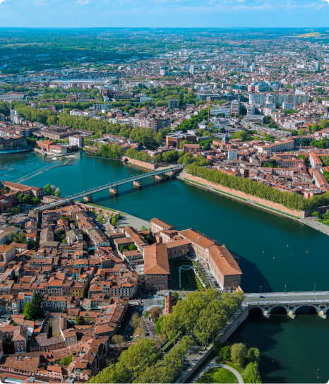
Heating and cooling networks, electricity, gas, renewable energy, and water: network operators and energy suppliers are managing increasingly complex infrastructure at all levels, while accelerating their transition to a low-carbon economy. This requires connecting all your technical data, fostering a shared vision between field and management teams, and having access to reliable real-time metrics to meet regulatory requirements (PCAET, Tertiary Sector Decree, APER Act). 3D building models, building attributes (roofs, energy performance ratings, floor areas), solar resources: Siradel produces the geospatial data you need and transforms it into decision-making and management tools.

Industry
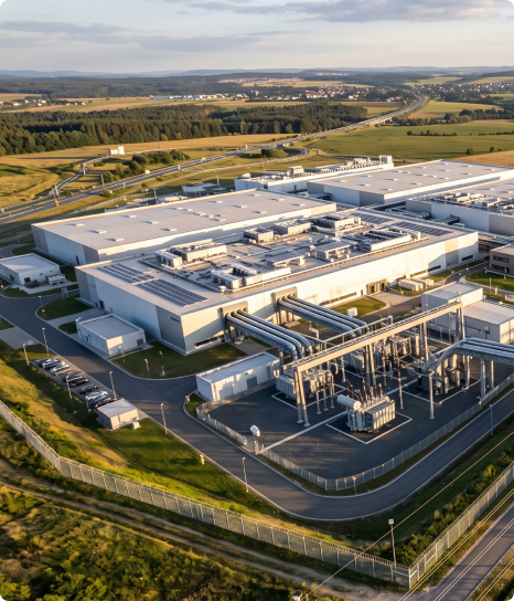
Regulated sites, industrial platforms, production facilities: Demonstrating risk management has become an ongoing process, as facilities age, undergo transformation, and see their surroundings become more densely populated.Siradel transforms your geospatial data into operational intelligence, from design to operations: mapping facilities, anticipating risks, and securing every stage of your sites’ lifecycle.Industrial operators subject to permitting requirements, platform operators, energy companies, and infrastructure operators: our 3D models, simulations, and teams support your hazard assessments, prevention plans, and the day-to-day management of your facilities.
Urban Planning & Real Estate
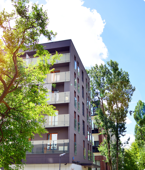
Land has become the key factor in development and real estate projects. With a goal of zero net land conversion, sites that are harder to identify, and stricter environmental requirements, decisions are being made regarding a scarcer resource and are being planned further in advance.Siradel transforms your geospatial data into land-use intelligence: identifying potential sites, verifying regulations, simulating impacts, and visualizing the results in their real-world environment.Developers, urban planners, public housing providers, local governments, and regional authorities: our digital twins, 3D models, and teams support your feasibility studies, permit applications, and public consultation processes.
IT Services Company
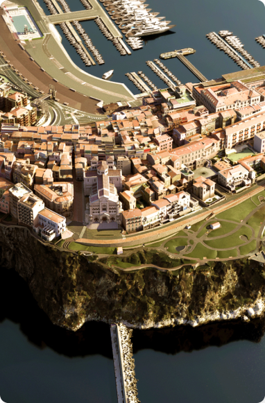
Consulting, integration, and engineering are entering a new cycle, where the key differentiators are delivery speed and the complexity of projects. However, this requires having the right data and expertise at the right time.Siradel provides you with its 3D and geospatial data, software components (APIs, digital twins), and co-development expertise to enhance your solutions and accelerate your design work without requiring additional resources.Digital service providers, system integrators, design firms, and engineering companies: our data and expertise provide your projects with the territorial context (2D/3D) that your clients expect.

Finance & Insurance
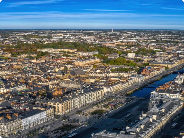
Allocating capital, insuring an asset, preventing a loss: these decisions all hinge on the same question—an asset’s actual exposure to its environment.Siradel combines GeoIntelligence, artificial intelligence, and regional expertise to address this question through physical and quantitative measurements tailored to each individual asset. Investment decisions, capital allocations, and preventive measures are thus based on objective data.Banks, asset management firms, insurers, and reinsurers: a single foundation for underwriting, credit granting, due diligence, prevention, and non-financial reporting.

About Us
Born from research, pioneering spatial intelligence
Since 1994, Siradel has been combining geospatial data, simulation and artificial intelligence to build decision-making tools. From our Volcano radio propagation model to digital twins, we help network operators and local governments make decisions on solid ground.