Digital Twin for land strategy
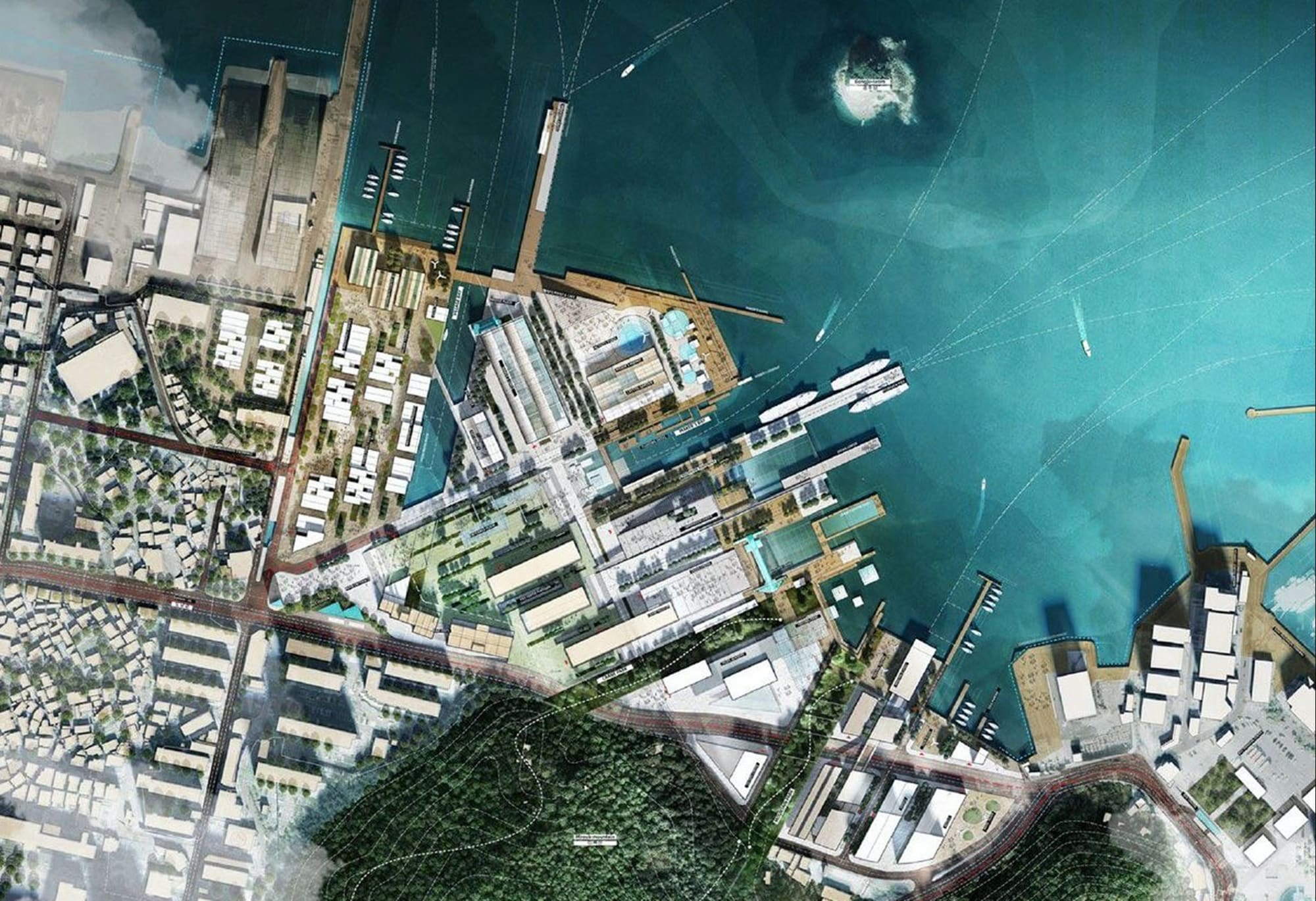
What will your area look like tomorrow? The digital twin for land strategy reveals your region’s land dynamics in 2D and 3D. It cross-references urban planning, demographic and economic data to bring your development scenarios to life, so you can objectively weigh trade-offs when updating your inter-municipal local urban plan (PLUi), regional planning scheme (SCoT) or local housing plan (PLH).
Designed to help you meet France’s no net land take target (ZAN) while still welcoming new residents and delivering major infrastructure projects, the digital twin reveals the land potential of your area. The resource is no longer greenfield land: it lies in infill sites, brownfields, vacant lots and densification potential within the existing urban fabric.
STAKEHOLDERS
One digital twin for planners, developers and elected officials
Your no net land take strategy is set out in planning documents, implemented by planners and developers, and presented to elected officials and residents. The digital twin for land strategy brings everyone together around a shared foundation.

Local governments and inter-municipal authorities
Under France’s Climate and Resilience Act, your local urban plans, regional planning schemes and housing plans must follow a land take reduction trajectory. The digital twin analyzes past and projected land consumption and backs up your choices.

Urban planning agencies and consulting firms
You produce the analyses and scenarios that inform decisions. The digital twin adds a spatial dimension, making your work easier for stakeholders to grasp and highlighting key indicators.

Land and property developers
Developable land, densification potential, reserved sites, areas to protect: you need a clear picture of what is actually available before entering land negotiations.

Elected officials and local partners
Land decisions involve players with different interests and levels of technical knowledge. 3D visualizations and workshop storyboards provide a common basis for dialogue between public and private stakeholders.
Context
No net land take: the challenges facing local governments

Meet the no net land take target
France’s Climate and Resilience Act requires halving the consumption of natural, agricultural and forest land over 2021–2031, then reaching no net land take by 2050, with compensation measures. Local governments must align their planning and housing documents with this trajectory while continuing to grow.

Build an objective land assessment
Measuring past and projected land consumption means cross-referencing planning documents with agricultural, property, environmental and economic trends: data that vary in nature, scale and date. Planning agencies and consulting firms need to turn them into a single, comprehensive assessment that elected officials and technical teams can share and update over time.
Make and explain trade-offs
A land strategy for 2031–2050 means balancing densification, protection of natural areas and economic development. Elected officials, planners and developers need to agree on these trade-offs, then explain them to stakeholders who do not all read a planning document the same way.
Our promise
A shared view of your land, from assessment to decision
Model your no net land take scenarios and manage your land strategy from a single platform. Land use, developable land, vacant lots, brownfields, natural and agricultural land to protect: every scenario is assessed at the parcel level. Indicators are georeferenced, exportable to your GIS and updated whenever your planning documents are revised.
Features
What the digital twin for land strategy lets you do
Map land dynamics across your area
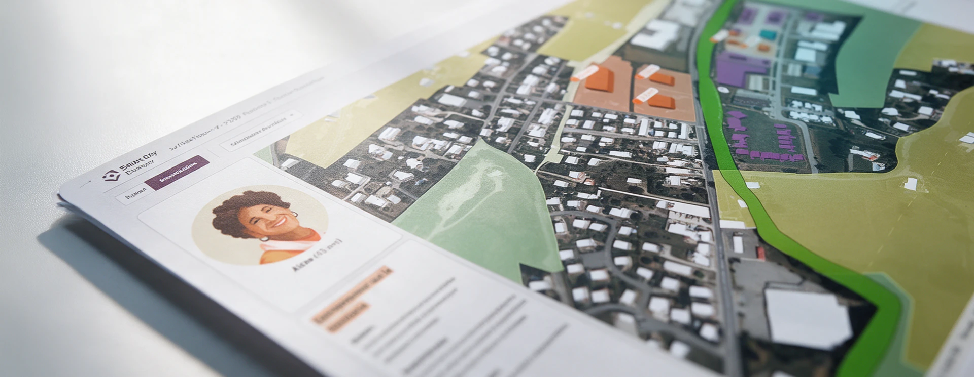
Explore, in 2D and 3D, past land consumption, areas zoned for development, natural and agricultural land to protect, and sites reserved for infrastructure.
 2D/3D digital twin of your area
- Historical land consumption
- Mapping of buildable areas, reserved sites, planning and development guidelines (OAP), and natural and agricultural land

Identify priority areas
Cross-reference planning documents with demographic trends, employment patterns and environmental resilience issues to prioritize areas for action and compensation.
- Interactive dashboards: land use, population, housing, economy, environment, transportation
- GIS data import and export
Simulate development scenarios and assess their impact on your area
Compare your baseline scenario with no net land take scenarios: densification, changes to planning and development guidelines (OAP), and allocation of land for services and economic activity. Then visualize the effects on urban form, landscape quality, housing stock, mobility and local amenities.
- Land consumption projections to 2050, by area and land use
- Strategic development scenario modeling
Manage your land strategy from a single platform
Access a 3D view of your area, projected scenarios and key indicators in just a few clicks, and work on them with your partners in a shared workspace.
- Available as SaaS
- Storyboards to facilitate consultation workshops
Indicators
Key indicators calculated by the digital twin
Land indicators
Land consumption (ha) by period and land use
Urban expansion and densification potential
Buildable land in local urban plans (urban zones U, future development zones AU, OAP)
Land take monitoring

Population, housing, economy
Population and household projections
Housing stock: age, type, vacancy rate, energy performance certificates (EPC)
Housing density targets in the PLUi
Jobs and available business land
Public facility attendance and traffic

Environmental Indicators
Natural, Agricultural, and Forest Areas (ENAF)
Vegetation Cover and Canopy Index
Potential for the Renaturalization of Artificial Areas
Protected and Sensitive Areas
In short
A digital twin to help you make and share your land decisions
Every scenario is linked to a 3D view of your area, from municipality to regional planning scale. Compare trend projections with no net land take trajectories and show, sector by sector, what each scenario means for housing, transportation and agricultural land. You get a solid basis to justify local urban plan policies, make the case for a regional planning scheme revision or run a consultation workshop on shared data.

They trust us