Our Solutions
Our solutions help you better understand your environment and test your projects before moving forward, so you can make confident decisions with your teams and partners.
Start with your industry or your specific challenge to find the solutions that best fit your project.
What we offer
Explore our offering



all solutions
Find the right solution
Use the filters to find the solution that best fits your sector and your needs.
8 results matching your filters
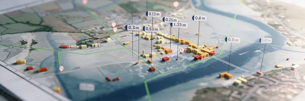
Flood
Digital Twins
Model flood spread, identify the areas at risk…
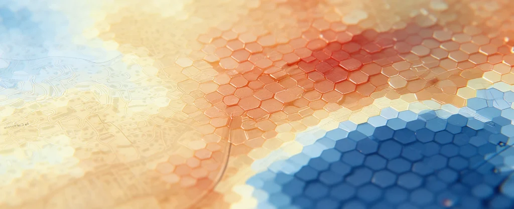
Urban Heat
Digital Twins
A digital twin to map urban heat islands, cross-reference heat stress with local vulnerabilities, and simulate the impact of your urban planning projects.

Land Use Strategy
Digital Twins
Take an objective approach to your land-use strategy decisions at the regional level.
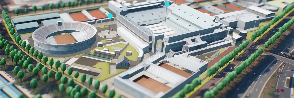
Urban Development
Digital Twins
Showcase your urban projects with 3D experiences based on your plans.

Geospatial Data Services
Services
Combine your geographic data with our geospatial intelligence models to anticipate risks and prioritize your investments.
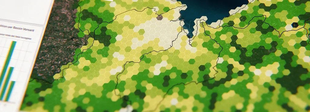
Geospatial intelligence
Geodata
Get land-use and building layers extracted from imagery using AI.
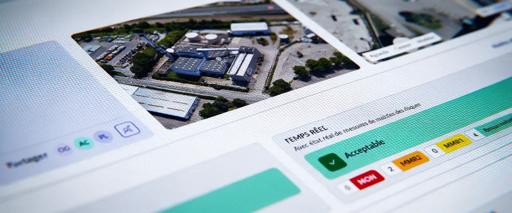
Asphales
Softwares
Asphales is an industrial risk management software solution that enables you to analyze, manage, and monitor your industrial sites’ risk vulnerabilities in real time.
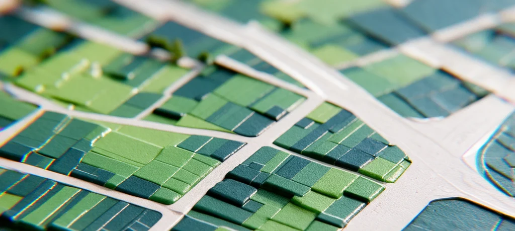
SWA
Softwares
SWA (Siradel Workspace & Atlas) is a 2D/3D web-based tool that makes map creation accessible to your business teams.