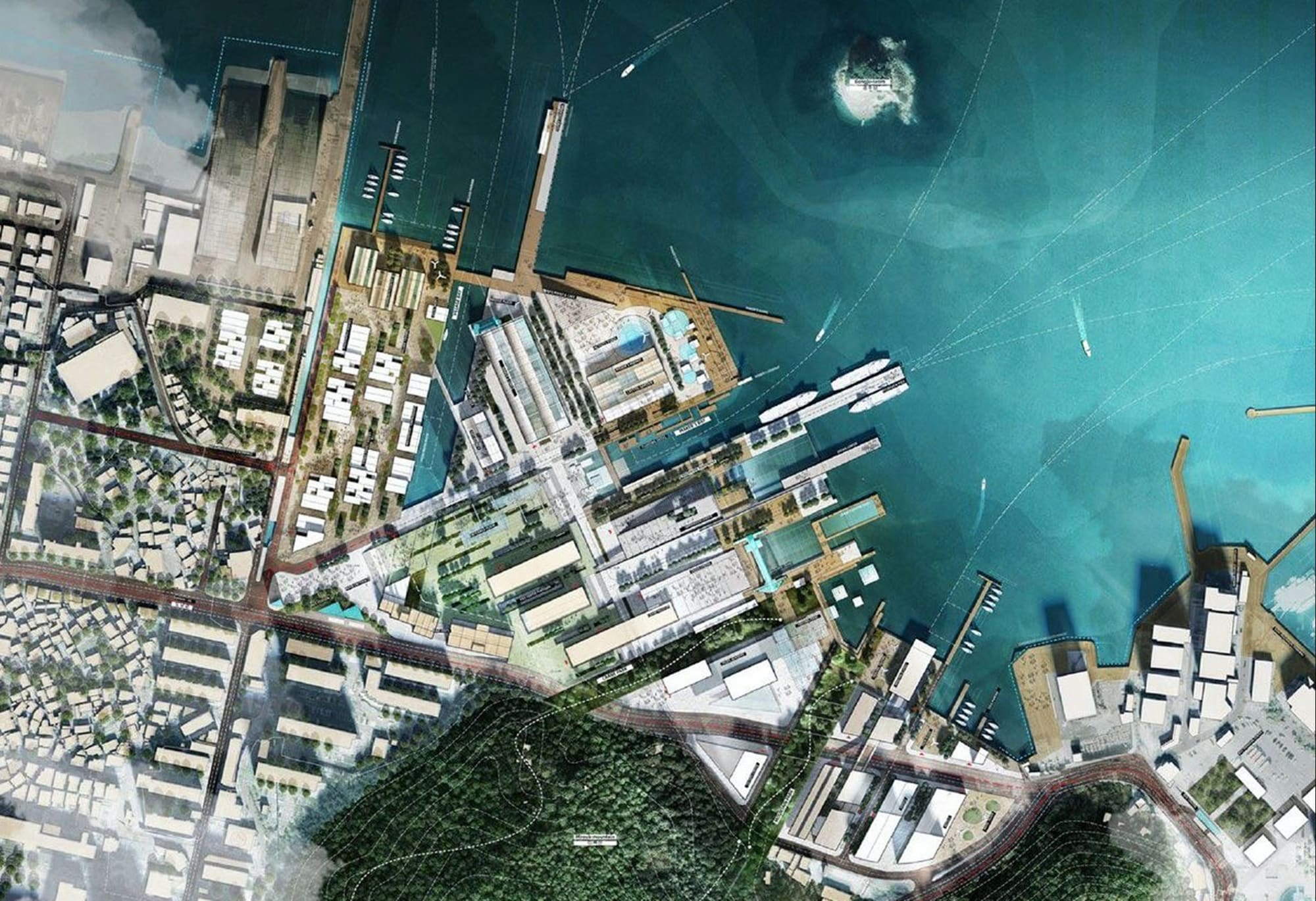
Urban Planning & Real Estate
Land has become the key factor in development and real estate projects. With a goal of zero net land conversion, sites that are harder to identify, and stricter environmental requirements, decisions are being made regarding a scarcer resource and are being planned further in advance.
Siradel transforms your geospatial data into land-use intelligence: identifying potential sites, verifying regulations, simulating impacts, and visualizing the results in their real-world environment.
Developers, urban planners, public housing providers, local governments, and regional authorities: our digital twins, 3D models, and teams support your feasibility studies, permit applications, and public consultation processes.
Industry Challenges
Decisions that must be finalized before committing land and capital
Developers, urban planners, public housing providers, local governments, and intermunicipal organizations: you all make decisions based on the same key resource—land—and the choice of site determines the outcome of your project.

Identify land potential and the best locations
Vacant lots, vacant lots with potential for infill development, and potential for building height increases: quickly identify real estate opportunities. For each parcel, we provide a set of detailed indicators that allow you to cross-reference, among other things, current zoning regulations, buildable square meters, estimated value, and environmental constraints. You can focus your efforts on the most promising sites.

Assess the impact and return on investment before investing
Visualizing a project in 3D and simulating its thermal, environmental, and social impacts early in the process allows for faster decision-making, helps limit financial risks, and makes it easier to win over partners and investors. Evaluating the project against its objectives from the design phase onward helps avoid administrative roadblocks and costly project rework, while speeding up the review of applications and the approval process.

Preview a project in its environment and assess its acceptability
Most of the risks associated with a project arise before the permit application is submitted, but only become apparent afterward. Verifying buildability early on and presenting the project in its actual environment changes the nature of discussions with the various stakeholders.

Demonstrating Environmental Performance During the Preliminary Design Phase
Summer comfort, heat islands, sunlight exposure, cast shadows, and integration into the landscape: by anticipating a project’s effects and comparing multiple development scenarios, it is possible to adjust and correct unintended consequences before the project begins.
Recommended Solutions
Solutions for identifying land, previewing, and demonstrating impact
Three categories covering the entire project lifecycle, from site selection to landscape integration, whether you choose to work independently on our platforms or with the support of our teams.
SWA
Softwares
SWA (Siradel Workspace & Atlas) is a 2D/3D web-based tool that makes map creation accessible to your business teams.
Urbain
Softwares
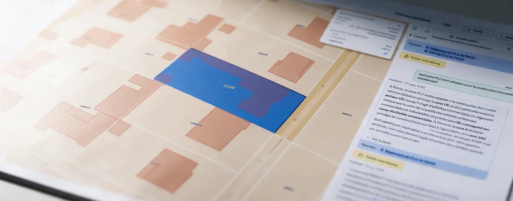
Search your PLU and PLUi records using natural language, with a response that includes sources at the parcel level.

Geospatial Data Services
Services
Combine your geographic data with our geospatial intelligence models to anticipate risks and prioritize your investments.
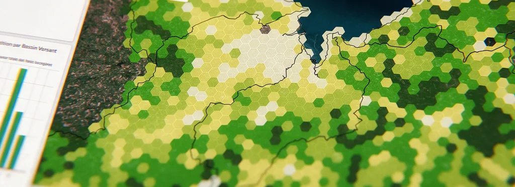
Geospatial intelligence
Geodata
Get land-use and building layers extracted from imagery using AI.
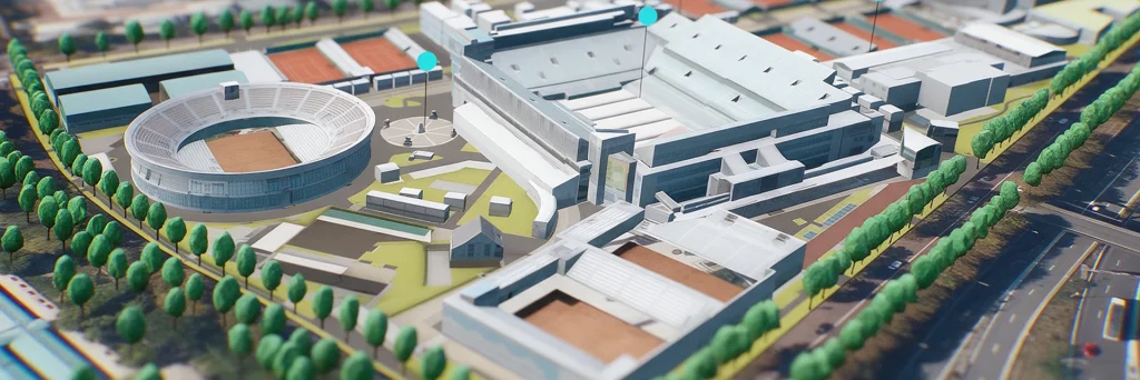
Urban Development
Digital Twins
Showcase your urban projects with 3D experiences based on your plans.
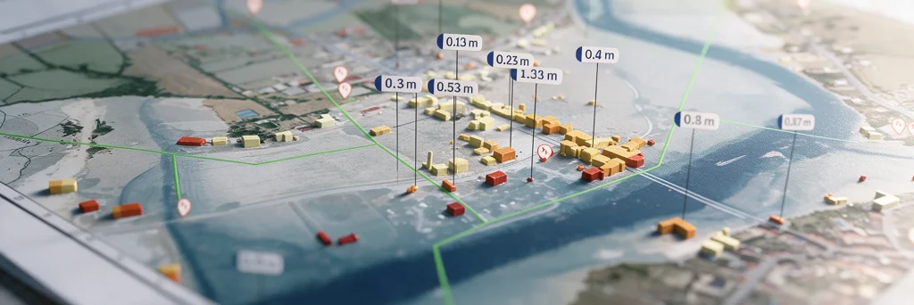
Flood
Digital Twins
Model flood spread, identify the areas at risk…

Urban Heat
Digital Twins
A digital twin to map urban heat islands, cross-reference heat stress with local vulnerabilities, and simulate the impact of your urban planning projects.

Land Use Strategy
Digital Twins
Take an objective approach to your land-use strategy decisions at the regional level.
They trust us

Our Contribution
Land Intelligence and 3D Modeling for Your Development Projects
Regardless of the solution you choose, there are two ways to work with us: equip your development, research, or urban planning teams so they can analyze the data on their own, or entrust the study to us. Most of our clients combine both approaches.

Equip Yourself: Data, Metrics, and Platforms with Direct Access
Your development, engineering, or urban planning teams can use our datasets, 3D models, and digital twins of the region themselves—either on our platforms or via API within your existing tools. You retain control over your decisions, and we guarantee the quality and timeliness of the data.

Supporting You: Customized Studies, Expert Assessments, and Analyses
Our engineers and geographers handle the study: identifying land resources, assessing parcels, creating 3D renderings of a project, simulating thermal and climate impacts, and preparing materials for public consultation meetings.