Industry
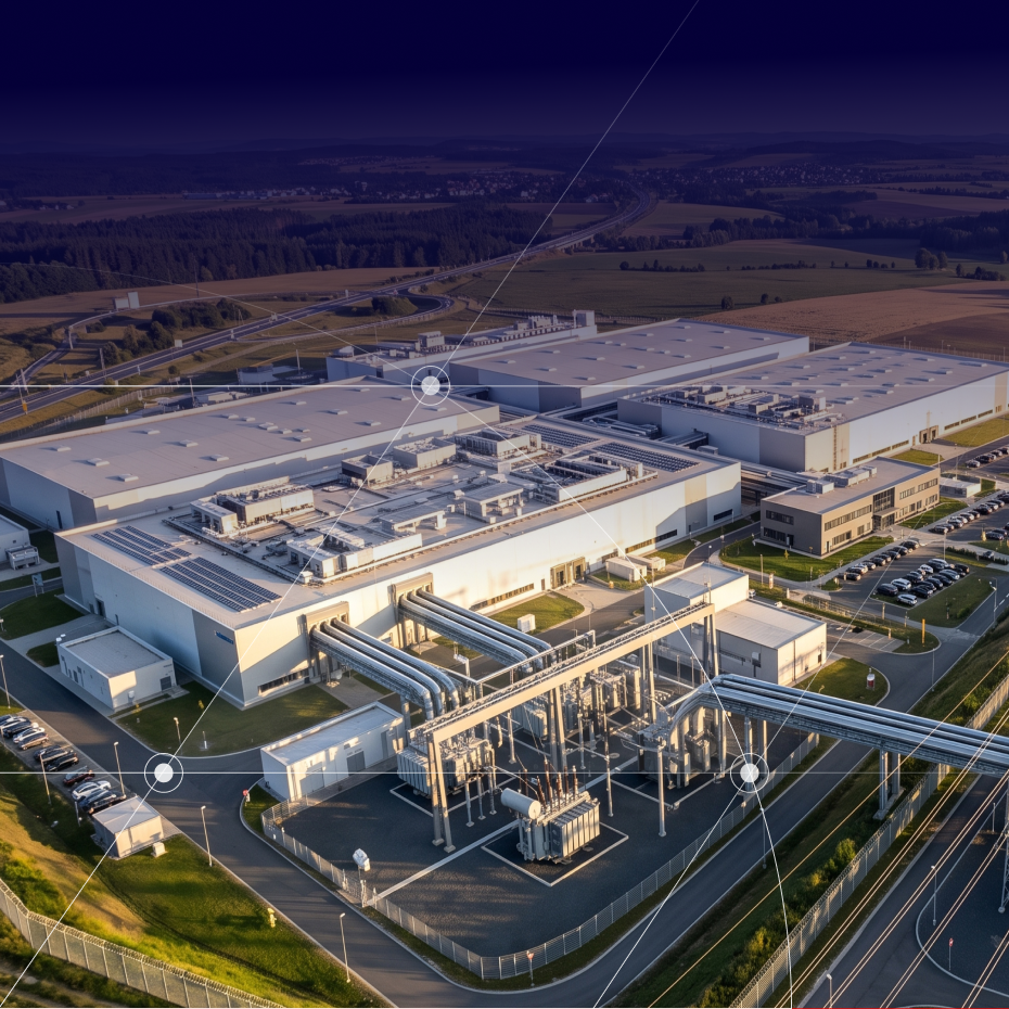
Regulated sites, industrial platforms, production facilities: as facilities age, change and see their surroundings become more densely populated, demonstrating that risks are under control has become an ongoing process.
Siradel turns your geospatial data into operational intelligence to map your facilities, anticipate risks and ensure safety at every stage of your sites’ lifecycle.
Whether you operate permitted industrial facilities, industrial platforms, energy assets or infrastructure, our 3D models, simulations and experts support your safety reports, prevention plans and the day-to-day management of your facilities.
context
Managing industrial sites over the long term
Regulated sites, industrial platforms, production facilities, storage areas, infrastructure: requirements and scales may differ, but the same need applies everywhere. You must know exactly what is on and around the site, document it and keep that information up to date throughout the facility’s lifespan.

Demonstrate risk control, facility by facility
Safety reports, prevention plans, effect distances, sensitive receptors around the site: the demonstration must be updated whenever the facility or its surroundings change. Operators of permitted facilities must keep their regulatory documents up to date, and tighter regulatory scrutiny is shifting the burden of proof onto them.

Prepare for crises, don’t just react
An emergency plan approved on paper does not show how an incident would spread across the site or which nearby areas it would affect. HSE departments and emergency response teams need to test scenarios such as dispersion, fire, spills and domino effects to prioritize protective measures, train teams on realistic situations and document their business continuity plans.

Know your site and its environment
An industrial site cannot be assessed in isolation: adjacent buildings, roads, waterways and sensitive facilities matter as much for a safety report as for an expansion project. Site management and engineering teams need this information at the right level of detail, updated as soon as anything changes nearby. A site analysis built on easily updatable 3D models provides a common foundation for every project.

Connect remote and hard-to-reach sites
Sensors, equipment, mobile teams: digitizing operations requires reliable coverage where public networks don’t reach, such as metal-framed buildings, sprawling sites, ATEX zones and underground areas. Operations managers and industrial CIOs must size private network coverage to their exact needs, which requires modeling radio propagation in the site’s real environment.
Recommended Solutions
Site, secure and manage your facilities
Our solutions cover three areas across the full lifecycle of your facilities, available as self-service platforms or with support from our teams.
Asphales
Softwares
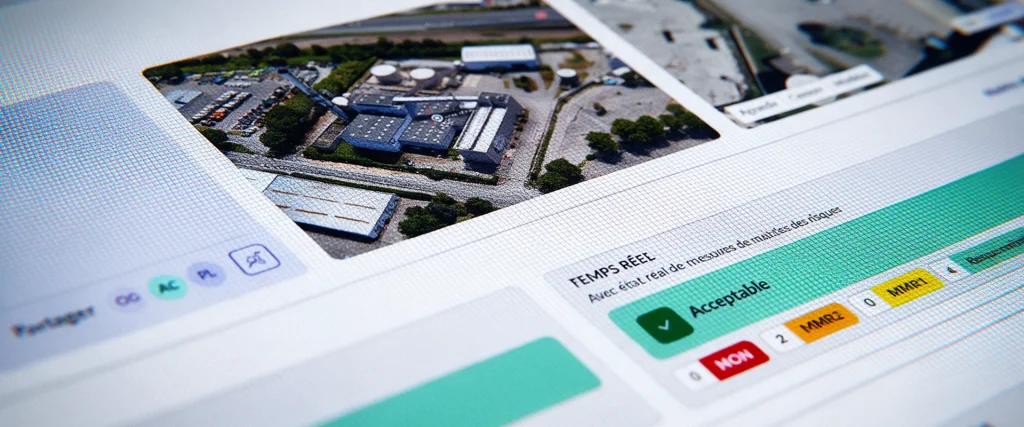
Asphales is an industrial risk management software solution that enables you to analyze, manage, and monitor your industrial sites’ risk vulnerabilities in real time.
SWA
Softwares
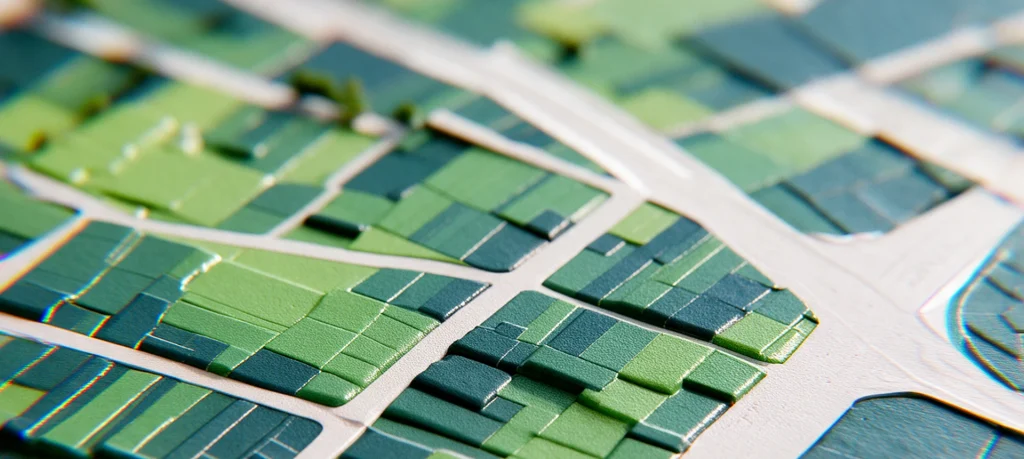
SWA (Siradel Workspace & Atlas) is a 2D/3D web-based tool that makes map creation accessible to your business teams.
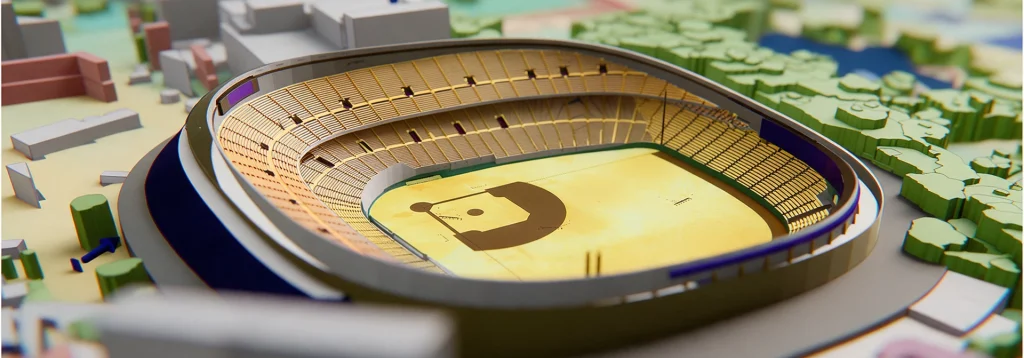
Planner
Softwares
Deploy reliable private networks to connect your industrial sites.
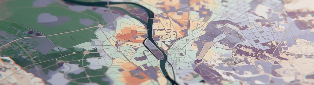
Telecom Geodata
Geodata
Géodata radio-first pour simuler la couverture 4G/5G dans chaque bande de fréquence, partout dans le monde.

Geospatial Data Services
Services
Combine your geographic data with our geospatial intelligence models to anticipate risks and prioritize your investments.

Telecom Consulting
Services
Our RF engineers plan, simulate and optimise your telecom networks, from design to deployment.
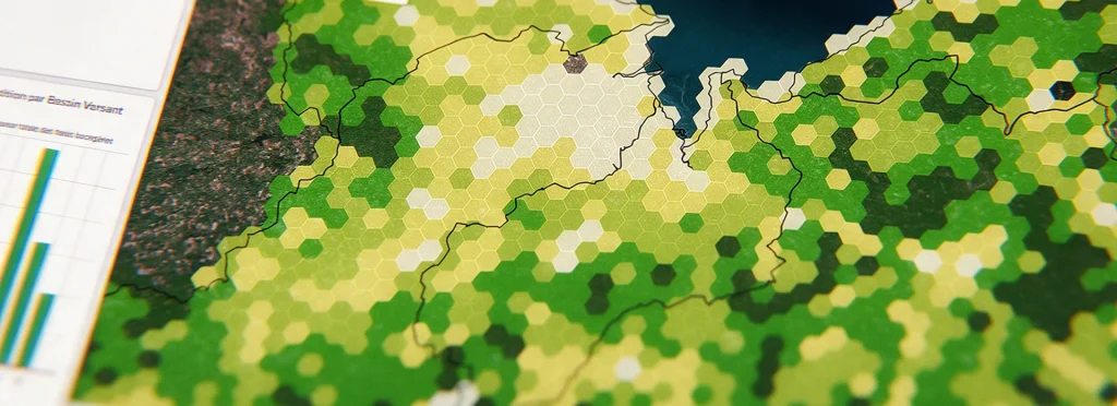
Geospatial intelligence
Geodata
Get land-use and building layers extracted from imagery using AI.
They trust us


how we help
Manage industrial risk in real time, from assessment to regulatory reporting
Every industrial site has its own constraints, teams and regulatory schedule: we tailor our services to your organization and adjust them as your needs change.

Self-service: direct access to Asphales
Your HSE, engineering and operations teams manage industrial risk themselves with Asphales (risk mapping, risk control measure calculations, Seveso compliance), either on our platforms or through API integration with your existing tools.

Expert support: deployment and custom studies
Our engineers deploy Asphales at your sites, analyze hazard exposure and prepare your regulatory documentation, including safety reports, internal emergency plans and safety management systems.