Energy & Utilities
District heating and cooling, electricity, gas, renewables, water: network operators and energy suppliers manage increasingly complex infrastructure at every scale, while accelerating their transition to a low-carbon economy.
That means connecting all your technical data, building a shared view between field and management teams, and relying on accurate, up-to-date indicators to meet regulatory requirements: local climate plans (PCAET), France’s Tertiary Decree on energy savings in commercial buildings, and the Renewable Energy Acceleration Act (APER).
3D building models, building attributes (roofs, energy performance certificates, floor areas), solar potential: Siradel produces the geospatial data you need and turns it into decision-making and management tools.
context
Connect, decarbonize, protect, optimize: the challenges facing your networks
Whatever the network or its scale, network operators and energy suppliers face the same challenges.

Connect your networks, data, and equipment
Each network operates at its own scale, with diverse data that must be integrated and kept up to date. In the field, smart meters and IoT sensors require reliable radio coverage, including underground and in rural areas. The choice of technology (LoRaWAN, private networks, cellular) determines the success of the deployment.

Decarbonize and meet regulatory requirements
PCAET, regional ecological planning, the Tertiary Decree: energy sector players must measure their carbon footprint, prioritize their transition efforts and report results to regulators, local governments and investors.

Protect your networks against climate risks
Floods, heat waves, clay shrinkage and swelling, runoff: infrastructure networks are increasingly at risk. Identifying vulnerable assets, prioritizing adaptation investments and ensuring service continuity have become essential.

Identify and unlock new potential
Solar, anaerobic digestion, collective self-consumption: with the APER Act and renewable energy acceleration zones, developers must identify the best sites and resources and plan their grid connection under regional renewable connection schemes (S3REnR). District heating operators are looking for new customers to connect, while water utilities seek to optimize the resource, from rainwater harvesting to existing network management.
Recommended Solutions
Model your networks, manage your low-carbon trajectory
Our solutions cover two areas, network modeling and decarbonization trajectory management, available as self-service platforms or with support from our teams
Asphales
Softwares
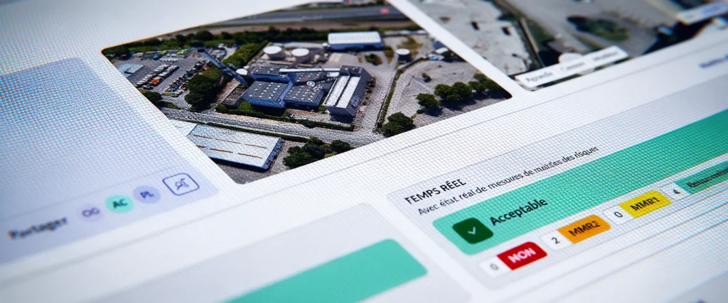
Asphales is an industrial risk management software solution that enables you to analyze, manage, and monitor your industrial sites’ risk vulnerabilities in real time.
SWA
Softwares
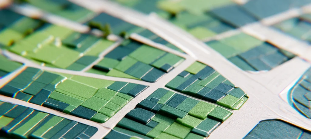
SWA (Siradel Workspace & Atlas) is a 2D/3D web-based tool that makes map creation accessible to your business teams.
Urbain
Softwares
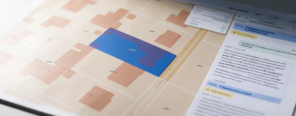
Search your PLU and PLUi records using natural language, with a response that includes sources at the parcel level.
Planner
Softwares
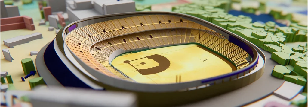
Deploy reliable private networks to connect your industrial sites.
Telecom Geodata
Geodata
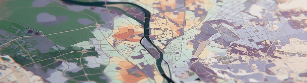
Géodata radio-first pour simuler la couverture 4G/5G dans chaque bande de fréquence, partout dans le monde.

Geospatial Data Services
Services
Combine your geographic data with our geospatial intelligence models to anticipate risks and prioritize your investments.

Telecom Consulting
Services
Our RF engineers plan, simulate and optimise your telecom networks, from design to deployment.
Geospatial intelligence
Geodata
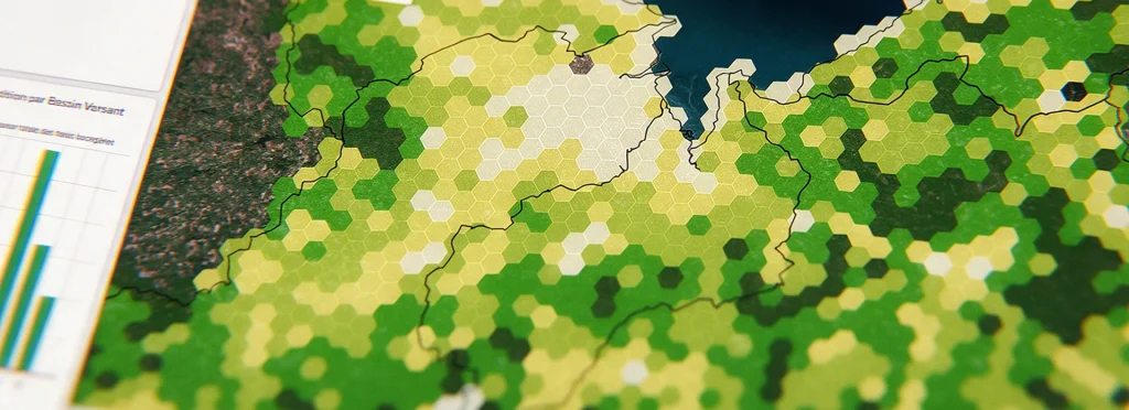
Get land-use and building layers extracted from imagery using AI.
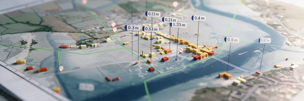
Flood
Digital Twins
Model flood spread, identify the areas at risk…

Urban Heat
Digital Twins
A digital twin to map urban heat islands, cross-reference heat stress with local vulnerabilities, and simulate the impact of your urban planning projects.

Land Use Strategy
Digital Twins
Take an objective approach to your land-use strategy decisions at the regional level.
How we help
Network modeling and geospatial indicators for infrastructure management
Your field and management teams use our tools every day, while our engineers handle projects that call for specialized expertise.

Self-service: data, indicators and platforms
Your field and management teams access our network digital twins, indicators, dashboards and data (3D building models, building attributes, solar potential) directly on our platforms. You keep control of your models, and we guarantee the data is accurate and up to date.

Expert support: custom studies, assessments and analyses
Our engineers and geomatics specialists integrate and update your technical data, model your infrastructure networks and assess your assets’ vulnerability to flooding and heat. They calculate your performance and carbon footprint indicators and simulate your transition scenarios. You receive deliverables and indicators your teams can use right away.