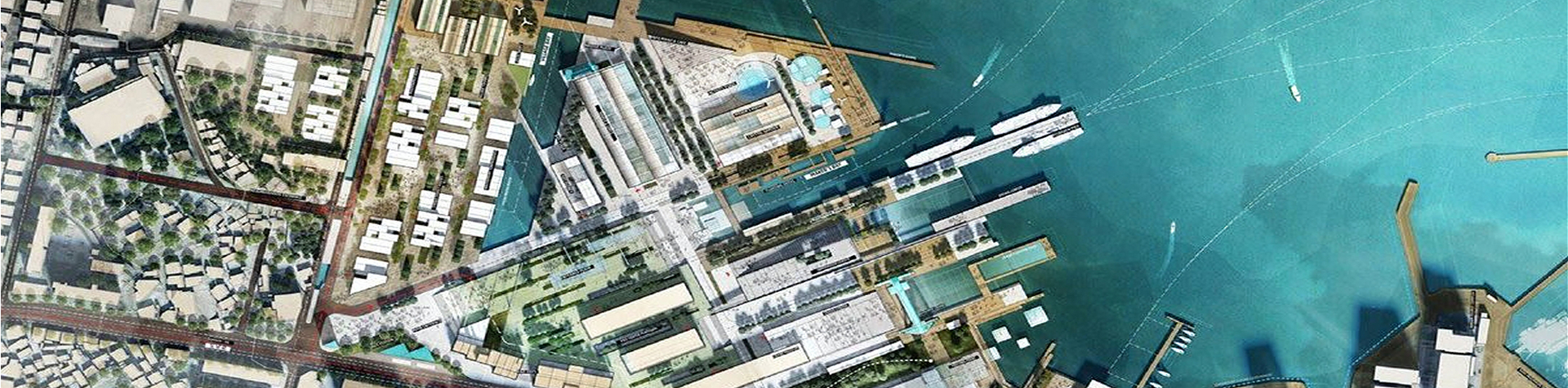
Finance & Insurance
With growing regulatory requirements (CSRD, TNFD, SFDR, etc.), new asset valuation challenges and rising climate risks, location intelligence has become a strategic advantage for finance and insurance.
Siradel combines geospatial intelligence, artificial intelligence and local knowledge to turn the complexity of the real world into actionable insights, supporting better risk management, more informed decisions and new opportunities for value creation.
Retail, commercial and private banks, asset managers, insurers and reinsurers: our data and analyses inform underwriting, lending, investment due diligence and sustainability reporting.

context
Rethinking risk and value, one asset at a time
Credit, investment, asset management, property and casualty insurance, wealth management: in each of these sectors, location is becoming a key decision factor. Portfolios are becoming more concentrated, climate risks are intensifying, and the European regulatory framework now requires asset-level documentation of exposure to physical risks and environmental impacts.

Understand the real exposure of concentrated portfolios
Floods, storms, heat waves, wildfires, clay shrinkage and swelling: exposure can no longer be assessed at regional level, it must be analyzed parcel by parcel. Yet these concentrations often remain invisible in management systems, for lack of reliable location data on assets and insured property. Without this level of detail, pricing, reinsurance and reserving rely on fragile assumptions.

Objectively assess the value and risk of financed assets
Commercial and residential real estate, agricultural and forest land, wind and solar projects, infrastructure: every financing, investment or divestment decision requires a detailed understanding of the asset and its surroundings. Due diligence is hampered by heterogeneous data that is hard to compare across assets, while “green value” and climate risk now weigh heavily on decisions.

Shift from compensation to prevention
Weather-related claims costs are rising faster than premiums, and repeated claims are undermining insurability in some areas. Insurers are expected to take on a new role: guiding their clients (individuals, businesses and local governments) toward adaptation measures tailored to their exposure, and measuring the impact of those measures.

Document and verify ESG commitments over time
Financial institutions must now quantify their portfolios’ exposure to climate risk, deforestation and biodiversity loss, and report on it publicly under frameworks such as the CSRD, SFDR, TNFD and EUDR. Reporting alone is no longer enough: they need traceable, updatable evidence and the ability to verify, over time, the trajectories announced by the counterparties they finance.
Recommended Solutions
Measure exposure, assess value, document your commitments
Use our solutions on their own or combined, as self-service platforms or with support from our teams.
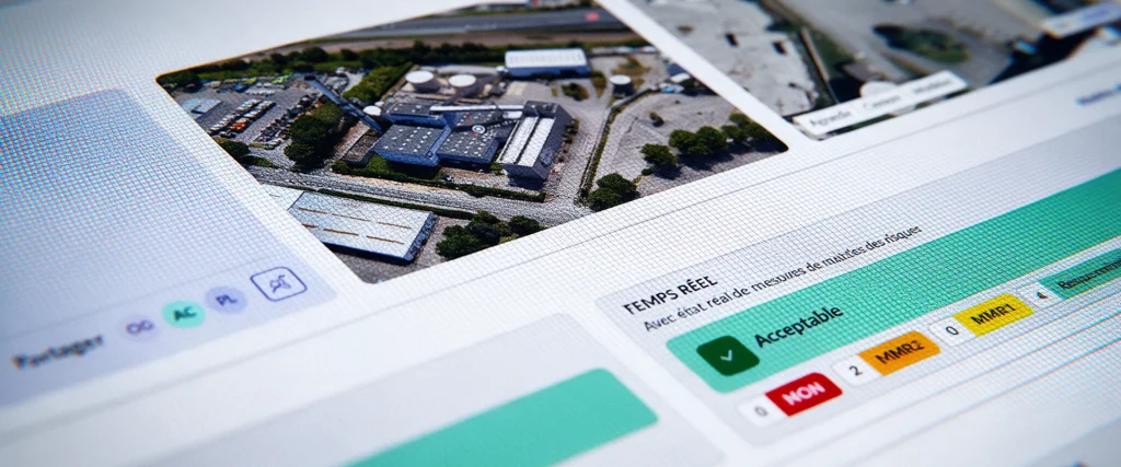
Asphales
Softwares
Asphales is an industrial risk management software solution that enables you to analyze, manage, and monitor your industrial sites’ risk vulnerabilities in real time.

SWA
Softwares
SWA (Siradel Workspace & Atlas) is a 2D/3D web-based tool that makes map creation accessible to your business teams.

Geospatial Data Services
Services
Combine your geographic data with our geospatial intelligence models to anticipate risks and prioritize your investments.
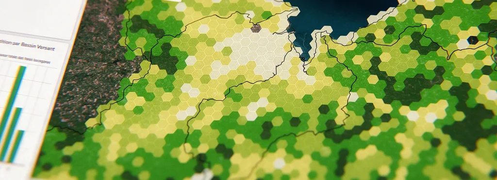
Geospatial intelligence
Geodata
Get land-use and building layers extracted from imagery using AI.

Urban Development
Digital Twins
Showcase your urban projects with 3D experiences based on your plans.
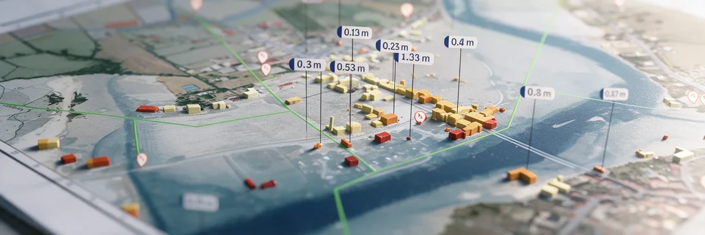
Flood
Digital Twins
Model flood spread, identify the areas at risk…

Urban Heat
Digital Twins
A digital twin to map urban heat islands, cross-reference heat stress with local vulnerabilities, and simulate the impact of your urban planning projects.

Land Use Strategy
Digital Twins
Take an objective approach to your land-use strategy decisions at the regional level.
They trust us


How we help
Exposure indicators and geospatial intelligence for your portfolios
Whatever the solution, there are two ways to work with us: run geospatial analyses in-house, or entrust the project to us. Most of our clients combine both, using our platforms and data day to day and our teams for expert analyses and sensitive projects.

Self-service: data, indicators and platforms
Your risk, ESG and investment teams use our geospatial datasets, exposure indicators and digital twins themselves, via our SaaS platforms or APIs, directly within your scoring and reporting tools. You keep control of your models, and we guarantee the data is accurate, comprehensive and up to date.

Expert support: custom studies, assessments and analyses
Our engineers and geographers handle the entire study from start to finish: portfolio exposure assessments, geospatial due diligence on a project, satellite mapping of a supply chain, regulatory indicators. You receive deliverables ready for your investment committees and reports.