Telecom Geodata
Siradel produces radio-first geodata: worldwide ready-to-use 2D/3D datasets designed by propagation engineers, not general-purpose GIS adapted for telecom.
Built with AI-driven production processes, our data delivers accurate simulations in every frequency band, from sub-6 GHz to mmWave and THz. It powers operational network design and optimization (4G, 5G, IoT, FWA) as well as research on 6G use cases such as V2X, drones and HAPS.
What matters
The qualities that make Geodata fit for radio planning

Engineered for RF propagation
Every dataset starts from RF requirements, not GIS ones. Clutter classes, building heights and vegetation are specified by their impact on propagation, then produced through a dedicated process, resulting in reliable predictions and right-first-time deployments.

Matched to each frequency band
A 10 m clutter grid is enough for rural sub-6 GHz coverage. It isn’t for dense urban mmWave, where a single missed rooftop or courtyard can flip a link budget. Matching resolution to frequency band, project by project, is the difference between a usable prediction and a wrong one.

Up-to-date, at national scale
Most 3D city models are built for visualization and rarely refreshed. We deliver detailed 3D building data designed for propagation, sized and priced for national rollouts, and update it on a regular cycle so your predictions keep pace with the field.
Our promise
The right data, at the right level of detail, for every network project.
From rural areas to dense urban cores, our geodata adapts to the scale and precision you need, for reliable simulations from the very first run.
Our products
Six data ranges, precision tailored to every project
3D City
3D urban models for advanced network planning
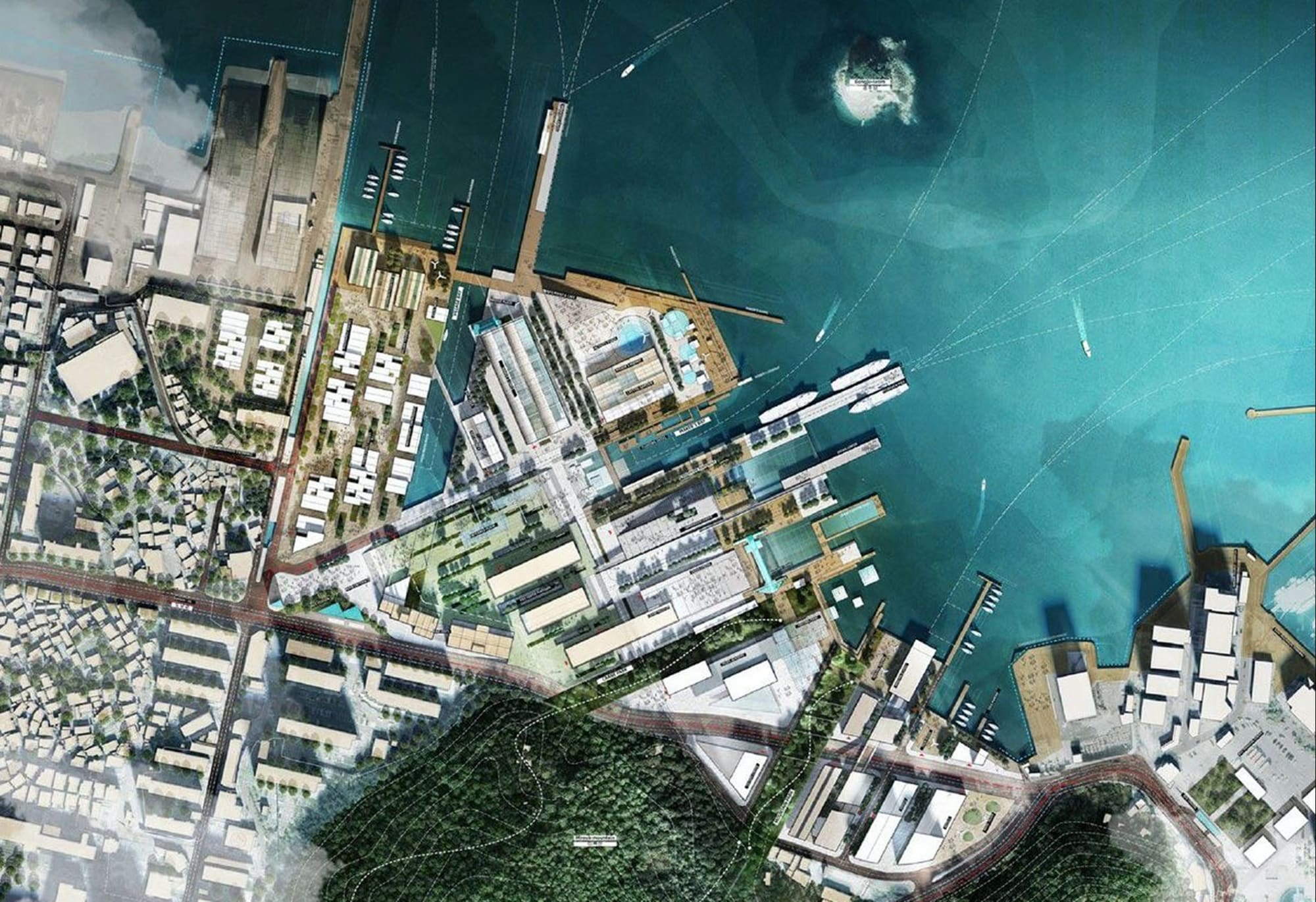
3D City high resolution data (1 m to 5 m) is produced over the most challenging dense urban areas. It combines DTM, DLU and DHM raster layers with 3D polygon vectors in a full 3D environment, enabling advanced ray-based propagation models and 3D multipath predictions for better outdoor and indoor planning at large scale.
 City-scale HetNet planning (macro / small / micro cells)
- FWA mmWave design, site audit and wireless channel modeling

3D Territory
Large-scale 3D, large-scale planning
3D Territory delivers a full 3D environment with buildings and vegetation, from 2 m to 10 m — designed for radio planning at very large scale. Produced from recent aerial imagery for maximum accuracy, or from curated open data for worldwide reach, it adapts to your requirements and budget. Already used in its highest-accuracy version by mobile operators across all of France (550,000 km²).
- Large-scale macrocell planning & optimization
- FWA design, CPE eligibility and closing the digital divide
3D Railway
3D models for railway communication network design
3D Railway is built for railway communication networks. Produced at 1 to 5 m resolution along 500 m to 2,000 m corridors, it includes railway-specific classes and accurately modeled bridges, embankments and cuttings, key to propagation along the track. Beyond the corridor, it can be completed with 2DT or 3DT data.
- Validated on the very first nationwide FRMCS design projects
- Includes coexistence with GSM-R
3D Industry
High-resolution BIM for radio simulation
The 3D Industry product delivers a highly detailed Building Information Model (BIM) built specifically for radio simulation. Generated at ultra-high resolution ; down to a few centimeters ; it follows the LOD4 standard, with floor-by-floor internal segmentation and precise material types and properties.
- Complex environments: factories, stadiums, stations, malls
- Private network planning, performance testing and R&D
2D Territory
Essential 2D geodata for telecom
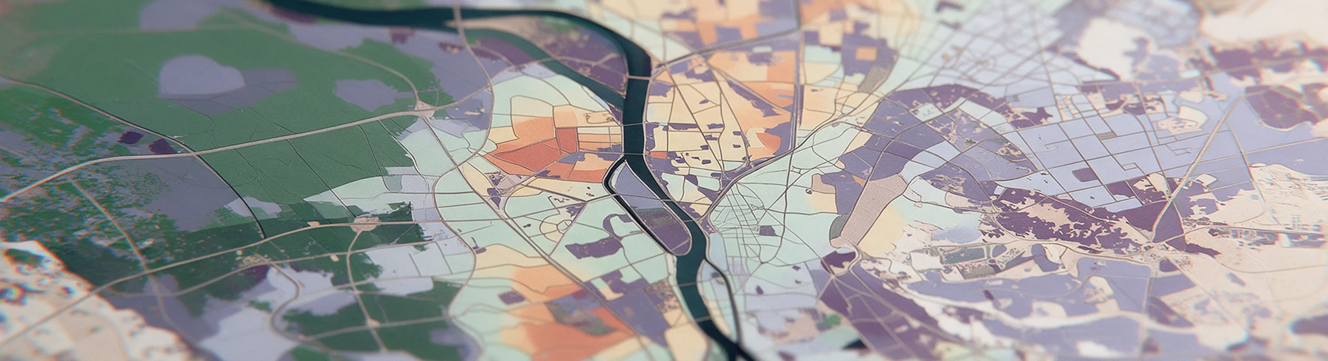
2D Territory provides 5 m to 50 m resolution data over large areas, from a region to an entire country. Produced from satellite imagery with interactive AI, it includes a digital terrain model (DTM), digital land use (DLU/clutter) and linear vectors.
- Bid planning and rural network planning
- Nationwide coverage maps and key performance indicators (KPIs)
Population Map
Demographic data for radio network design optimization
Siradel's Population Maps are an optional layer for 2D Territory and 3D Territory. They combine public population data with Siradel's land-use classification. The result supports coverage planning, capacity dimensioning and service-level analysis.
- Efficient resource allocation and coverage planning
- Smarter decision-making and enhanced service quality
AI innovation
AI-powered geospatial production
Since 2018, AI has been at the core of Siradel's production pipeline. Our R&D team develops its own deep learning models. They are trained on Siradel's extensive proprietary datasets and continuously refined through active and continual learning.
These models process aerial and satellite imagery, 3D point clouds and vector data. They detect, classify and vectorize features to produce high-quality raster and vector maps, delivered in the format you work with (MapInfo, Shape, DXF, GeoTIFF, BIL…).
For you, this means large areas mapped faster, data refreshed more often and worldwide coverage at a controlled cost, with consistent quality whether you are studying a single site or planning a nationwide 5G rollout.
Trusted by