Siradel
Since 1994, we have been using geospatial data, simulation and artificial intelligence to support decision-making.
We help network operators, planners, industrial companies and local governments understand their areas and networks, optimize performance and plan for the future, so they can invest in the right place at the right time and prepare today for the networks and cities of tomorrow.
From raw data to operational scenarios, we turn the complexity of the real world into reliable, actionable and lasting information.
30+
years of simulation expertise
50+
countries where our solutions are deployed
90
passionate team members
Our History
From Radio Wave Modeling to Digital Twins
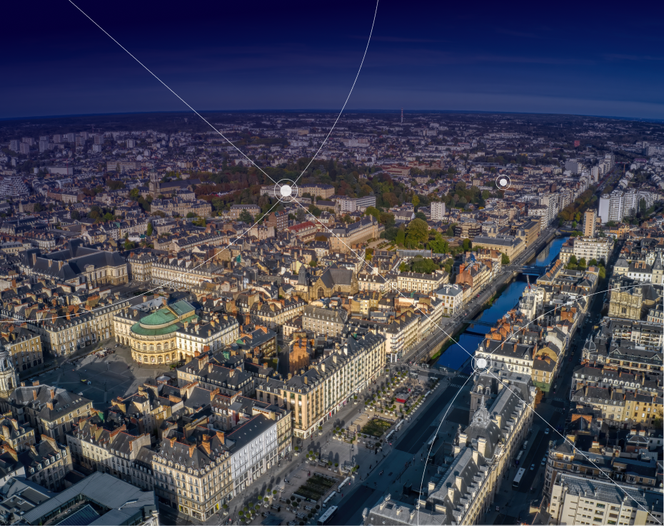
Founded in Rennes in 1994, Siradel grew out of the IETR, a local electronics and telecommunications research laboratory. The company first made its name in radio planning with Volcano, which became the industry-standard propagation model for mobile network design.
Over the years, our expertise in simulation and geospatial data has expanded far beyond telecommunications. Cities, industrial companies and land managers all share the same need: a reliable representation of the real world to understand situations, anticipate how they will evolve and make informed decisions.
This need has guided our growth. From the start, we have developed our technologies in close collaboration with research laboratories, through joint projects with academic, public and industrial partners in France and abroad.
In 2016, Siradel joined the ENGIE Group, a milestone that opened the company up to the energy sector. Since January 2026, Verdoso has been our majority shareholder, supporting a new phase of our growth.
Our Expertise
From data to decision: an end-to-end value chain
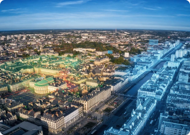
A pioneer in spatial intelligence, Siradel brings together a wide range of sources (satellite and aerial imagery, LiDAR, 3D models, regulatory datasets) to build an accurate representation of the real world.
Our high-precision 3D models and proprietary AI algorithms combine to create digital twins of regions and infrastructure. They help detect meaningful signals, speed up large-scale analysis and simulate scenarios to anticipate changes and their impact.
We turn this raw material into operational intelligence through an integrated offering: reference databases, consulting expertise and industry-specific software, deployed on-premises or available as SaaS in a sovereign cloud.
Data production, indicator analysis, forecasting: we master every link in the chain.

We work with operators, manufacturers, and local governments to design more efficient infrastructure, create more sustainable regions, and better anticipate risks. Our strength lies in our combined expertise in 3D modeling, simulation, artificial intelligence, and geospatial data—all of which we use to support concrete decision-making.
Paul Lacoin
CEO
Our Values
A conviction that makes a difference
One conviction runs through everything we do: turning the complexity of the real world into clarity for action. It shapes how we design our technologies, support our clients and develop our solutions, and it underpins the value we create, beyond any single product.

Pioneering expertise
Since 1994, we have been building in-depth expertise in geospatial data and simulation. This experience allows us to cover the entire value chain, from data production to analysis, and to build solutions tailored to our clients’ operational realities.

Customer commitment
We start from real needs rather than features. This approach translates into a simple commitment: to stay available and involved at every stage of a project, from scoping to ongoing support.

Innovation through experimentation
We test, measure and refine. The experience gained over hundreds of projects helps us continually improve our methods and technologies, with one goal in mind: turning complex data into actionable insights.

Collective strength
Our 90 team members share a passion for their work and a drive to do their best. This collective intelligence helps us understand our clients’ challenges, develop effective solutions and support our clients over the long term.
Three decades of experience, one belief: geospatial intelligence transforms decision-making.
Want to be part of it? Join a team of passionate professionals and help shape the cities and infrastructure of tomorrow.