Geospatial Data Services
Geospatial applications, consulting and audits, GIS and ETL processing, data sourcing and quality control, computer vision: our experts can handle some or all of your data value chain.
We extend your in-house capabilities, working across a broad range of proprietary and open source technologies that we know inside out.
Local governments, infrastructure operators, consulting firms and industrial companies: we have completed over 300 projects in France and internationally, from strategic planning to custom development.
Issues
The Benefits of Working with Geodigital Experts
Your geospatial projects require specific expertise at every stage of the data value chain. Our teams step in wherever you need them.

Access rare skills when you need them
GIS developers, ETL experts, computer vision specialists: these profiles are hard to recruit and costly to keep in-house. Bring them on board for the duration of a project, without tying up your resources.

Work with reliable, verified data
Your processes are only as reliable as the data that feeds them. Careful sourcing and systematic quality control secure everything downstream: analyses, deliverables, decisions and commitments.

Get a clear assessment of your GIS
An independent audit of your existing systems shows what to keep, modernize or replace. You invest where it really makes a difference, in open architectures that remain yours.
OUR PROMISE
The entire geospatial value chain, supported by our experts
From GIS audits to custom application deployment, including data sourcing and GeoAI services, our experts integrate seamlessly into your projects as an extension of your own teams. Our know-how is built on more than 300 projects in France and abroad.
SERVICES
Five areas of expertise, a complete value chain
Sourced, verified, analysis-ready data
We source and fuse your multi-sensor data, then validate and structure it so it is consistent and ready for analysis. Every dataset is documented, dated and traceable.
 Multi-sensor sourcing: aerial and satellite imagery, LiDAR, open data, field surveys
- Quality control, validation and structuring before production use
- Metadata, documentation and traceability for every dataset

AI that detects, classifies and measures
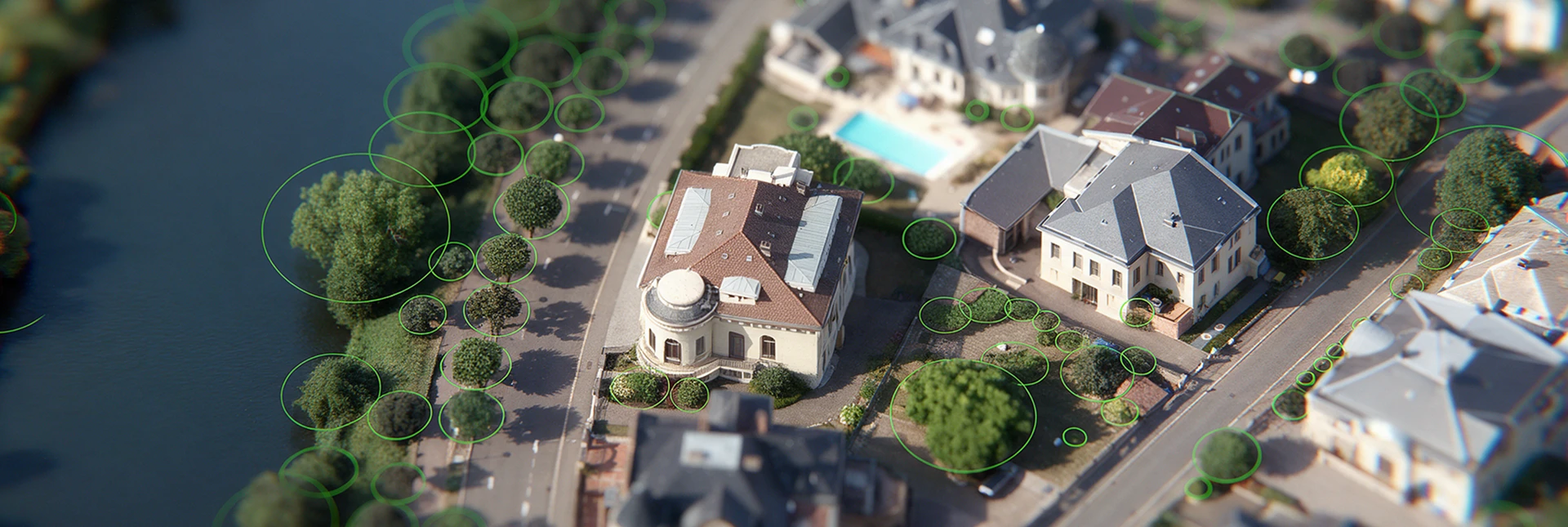
Our geomatics and computer vision specialists train custom AI models to automate information extraction from your geospatial data, based on your own parameters and classification scheme.
- Image and point cloud classification, object and change detection, super-resolution
- Geomatics and computer vision specialists: 17% of our staff
- Models that can be retrained on your own data
Automated, more reliable data pipelines
We build your geospatial ETL pipelines and manage your GIS across a broad technology ecosystem. Your data flows automatically between your tools, with no manual intervention and no loss of quality.
- Automated, production-grade geospatial ETL pipelines (CI/CD)
- Technologies we work with include FME, Python, QGIS, PostGIS, GeoServer, ArcGIS and GeoNode
- Monitoring, production rollout and knowledge transfer to your teams
A clear roadmap before you act
Before any development begins, we analyze your context, data and needs to define the right project: an audit of your existing GIS, technology recommendations and strategic guidance, all vendor-independent. You’ll know exactly what needs to be done, in what order and at what cost.
- Current-state assessment (GIS, data, infrastructure)
- Strategic consulting
- Costed, prioritized technology roadmap
Applications built around your use cases
We design and develop 2D/3D mapping applications, including web and mobile interfaces, REST APIs and dashboards, integrating your heterogeneous data into an OGC-compliant, future-proof architecture. Your users get the information they need, in a tool designed for the way they actually work.
- Front-end and back-end development (2D/3D interfaces, REST APIs)
- Vendor-independent architectures
- Migration and modernization of existing applications without service disruption
In short
We step in wherever your teams need us
Data, 3D models, indicators, simulations and artificial intelligence all build on the same geospatial foundation. Start with what you need today and go further tomorrow.
THEY TRUST US