Geospatial Intelligence
Every day, our experts turn vast volumes of complex geospatial data (satellite and aerial imagery, LiDAR, IoT sensors, open data) into clear, reliable and immediately actionable insights.
Structured 2D/3D data, digital terrain models and 3D building models, environmental and energy indicators, simulations, AI-powered detection: our offering covers the entire value chain, from raw data to decision-making.
Local governments, urban planners, energy companies, industrial companies, insurers and engineering firms: we deliver ready-to-use data, from parcel to national scale, in formats compatible with your business tools.
BENEFITS
The Benefits of Working with High-Quality Data
In data-driven organizations, every decision depends on the quality of the information behind it. We handle sourcing, structuring, processing and analysis, so you can focus on what matters.

Turn diverse sources into actionable data
Imagery, LiDAR, sensors, open data: each source has its own characteristics (format, resolution, recency, scale, etc.). Bringing them together in a structured repository enables cross-analyses that would otherwise be impossible, and makes your data usable across all your departments.

Access data expertise without building it in-house
Extracting useful information from imagery or data fusion requires specialized skills and computing power. Outsourcing these processes gives you the results without managing the technical infrastructure or the associated hiring.

Decide on up-to-date and traceable indicators
Up-to-date data and indicators with documented calculation methods give you a solid foundation for decision-making, make collaboration easier and help you justify your choices to partners and funders.
our promise
Unlock the full potential of your geospatial data
Data, indicators, artificial intelligence and 3D modeling: our geospatial intelligence offering turns complexity into actionable insights for your operations.
Features
Our geospatial intelligence capabilities
Reliable data: the foundation of everything
Satellite and aerial imagery, LiDAR, open data, IoT sensors: we fuse multiple sources into structured 2D/3D data to build a reliable, ready-to-use database. Land cover, built-up areas, vegetation, infrastructure networks, elevation data: every layer is verified, documented and delivered in formats that work with your tools.
 Multi-source data fusion
- Compliance with international and European standards (OGC, INSPIRE)
- Delivery in your business formats: Shapefile, GeoTIFF, GeoPackage, CityGML, etc.

High-precision digital models
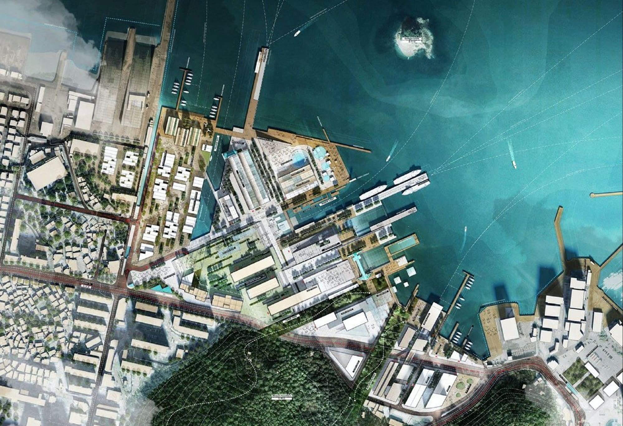
We model your operational environments as realistic 3D models: digital terrain and surface models, 3D city models from LoD1 to LoD3, and photogrammetric meshes. A single foundation supports your communication materials, technical studies and digital twins.
- 3D terrain and building models (photogrammetry, high-density LiDAR)
- Automated processing workflows, from LoD1 to LoD3
- High-resolution models ready for your digital twins
Indicators That Guide Action
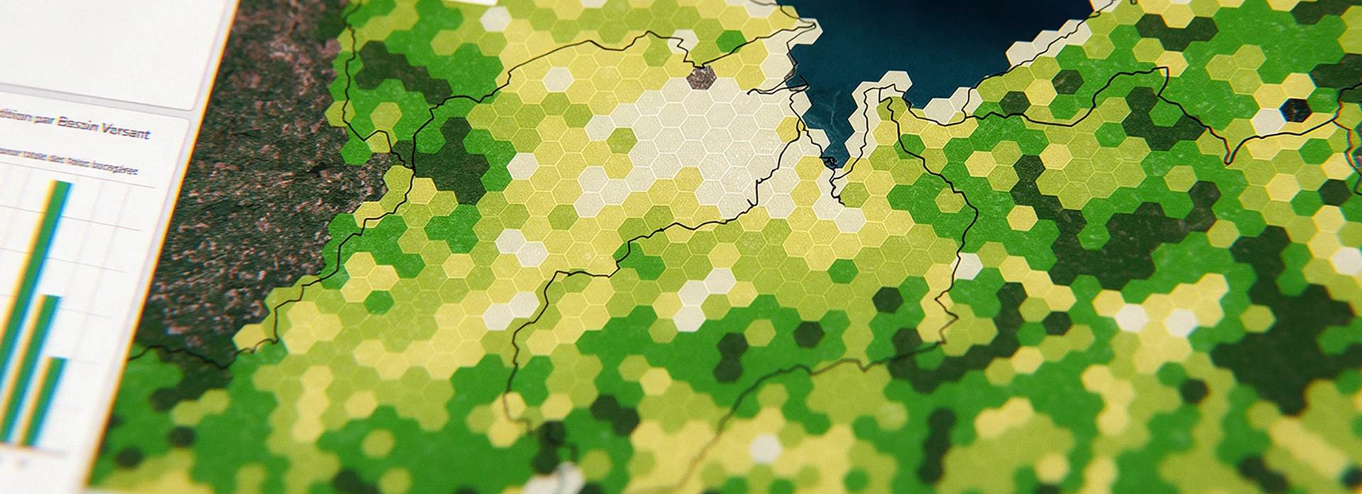
Heat islands, solar potential, risk exposure, building energy retrofits (namR solution), vegetation: we calculate hundreds of ready-to-use thematic indicators from multiple sources, giving you an objective basis to assess, prioritize your actions and track progress over time.
- A library of business indicators tailored to your needs
- Documented calculation methods, so every indicator is traceable and defensible
- Delivered as maps, GIS files, APIs or an integrated platform
Anticipate the future with simulations
Flooding, urban densification, heat islands: our simulations help you anticipate future trends and test what-if scenarios before your projects are implemented. Compare scenarios on a common basis, measure the changes and base your decisions on results rather than assumptions.
- Climate, regional and urban simulations
- Impact assessment before implementation
- Before-and-after scenario comparison
AI that maps your area
Our deep learning models automatically detect and classify what is on the ground (buildings, vegetation, infrastructure, land use) from street-level, aerial and satellite imagery and LiDAR data. From a single neighborhood to an entire country, it takes just a few days, compared with several months of manual photo-interpretation.
- Buildings, vegetation, infrastructure, land use
- Models trained and validated on dozens of projects worldwide
- Regular updates to track landscape changes over time
In short
One dataset, multiple uses, a single production line.
Data, 3D models, indicators, simulations and artificial intelligence all build on the same geospatial foundation. Start with what you need today and expand tomorrow, without starting over.
They trust us