Public Sector
Local governments manage their areas under two pressing constraints: shrinking budget margins and looming regulatory deadlines.
Siradel turns your geospatial data into geospatial intelligence, giving you a detailed, up-to-date understanding of your area so you can anticipate change, deliver your development projects and lead your climate and energy transition.
Municipalities, inter-municipal authorities, counties, regions and regional State services: our platforms and teams support your decisions and make it easier to work with elected officials, residents and partners.
Our solutions are available to public buyers through France’s central public purchasing agency (UGAP), where Siradel is an approved software supplier.


context
Making decisions under budget and regulatory pressure
Municipalities, inter-municipal authorities, counties, regions and regional State services do not have the same resources or responsibilities. Yet they all face the same questions: where to invest, what to protect and which areas to open up to development, all on tight budgets and amid persistent local inequalities.Yet they all must address the same issues: where to invest, what to protect, and what areas to open up to urban development—all while operating on tight budgets and dealing with territorial disparities that remain unequal.

Target investments to stay within budget
Reducing land take, managing energy use in buildings and infrastructure, making the most of existing assets: local governments must now make trade-offs with limited resources. A detailed, up-to-date understanding of the area is essential for cost-effective management.

Build a climate adaptation strategy
The national warming trajectory, local climate plans, regional planning schemes : regulations require local governments to anticipate climate scenarios and build them into their planning documents. Without reliable data on local risks, this strategy remains theoretical.

Explain your projects and engage residents and local stakeholders
A development project, a high-risk area, a planning decision: nothing is acceptable unless it is understood. Visualizing a phenomenon, simulating its effects and showing it rather than just describing it fosters dialogue, understanding of public policy choices and collective decision-making.

Turn shared geographic data into decisions
Public geographic data is organized around digital commons, such as France’s national geospatial platform (Géoplateforme), the National Address Database and IGN’s geo-commons initiative (Fabrique des géocommuns), and programs like JUNN, which help local governments build digital twins. Each local government still has to link these repositories to its own operational data, often scattered across teams, and turn it into indicators that directly inform decisions. That final link is the one most often missing.
Recommended Solutions
Build on every project to guide your public policies over time
A shared, evolving repository that brings all your data together, measures the impact of your decisions and tracks changes over time, so you can evaluate past policies and shape future ones.

SWA
Softwares
SWA (Siradel Workspace & Atlas) is a 2D/3D web-based tool that makes map creation accessible to your business teams.
Urbain
Softwares
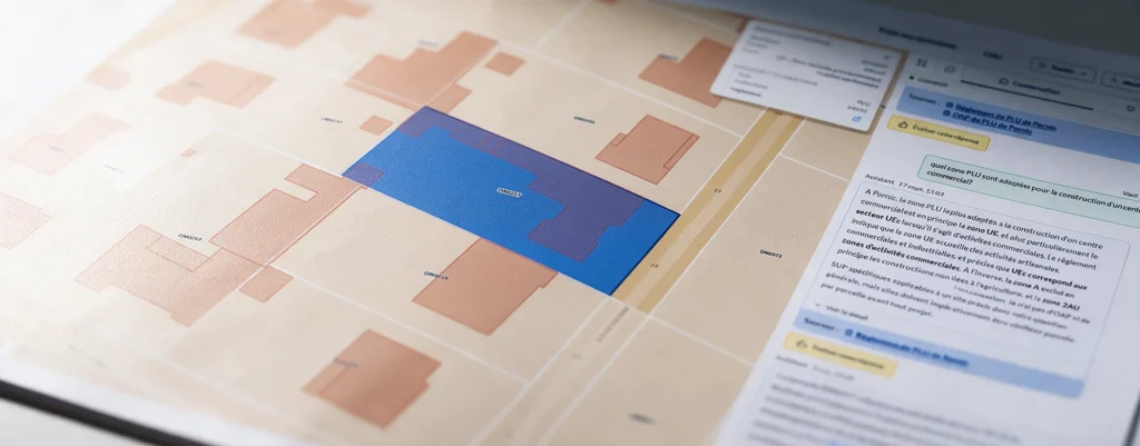
Search your PLU and PLUi records using natural language, with a response that includes sources at the parcel level.

Planner
Softwares
Deploy reliable private networks to connect your industrial sites.

Geospatial Data Services
Services
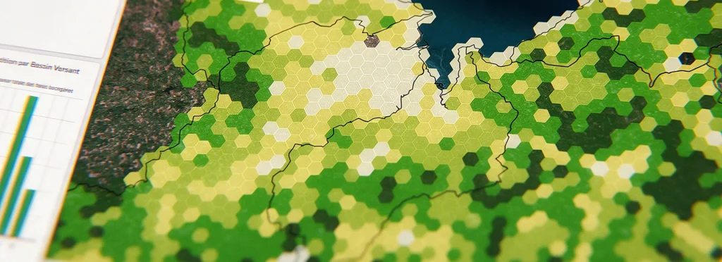
Combine your geographic data with our geospatial intelligence models to anticipate risks and prioritize your investments.
Geospatial intelligence
Geodata
Get land-use and building layers extracted from imagery using AI.
Urban Development
Digital Twins
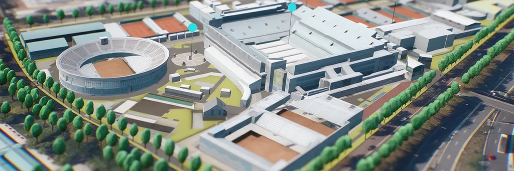
Showcase your urban projects with 3D experiences based on your plans.
Flood
Digital Twins
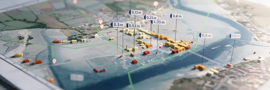
Model flood spread, identify the areas at risk…

Urban Heat
Digital Twins
A digital twin to map urban heat islands, cross-reference heat stress with local vulnerabilities, and simulate the impact of your urban planning projects.

Land Use Strategy
Digital Twins
Take an objective approach to your land-use strategy decisions at the regional level.
They trust us





how we help
Geospatial data and indicators to support your public policies
Your teams use our up-to-date data day to day, and entrust us with projects that call for specialized expertise.

Self-service: data, indicators and platforms
Your urban planning, development, ecological transition and GIS departments use our datasets, indicators and digital twins directly, on our platforms or through API integration with your existing tools. You benefit from shared data you don’t have to produce yourself, and your teams stay autonomous.

Expert support: custom studies, assessments and analyses
Our engineers and geomatics specialists help you scope your needs, then work closely with you to interpret the results, make the most of them and communicate your projects.